Nottingham
Nottingham/25/00887/PWC
27 Magdala Road Nottingham Nottingham City NG3 5DE
- Reference
- Nottingham/25/00887/PWC
- Authority
- Nottingham
- Application type
- PWC
- Address
- 27 Magdala Road Nottingham Nottingham City NG3 5DE
- Postcode
- NG3 5DE
- Status
- Decided
- Decision
- No objection
- Received
- 9 May 2025
- Validated
- 3 Jun 2025
- Started
- 3 Jun 2025
- Decided
- 15 Jul 2025
- Source council
- Nottingham
- Council source record
- View public record
- Public data licence
- Open Government Licence v3.0
- Record updated
- 18 Jul 2026
- SEO index generated
- 24 Jul 2026
Location
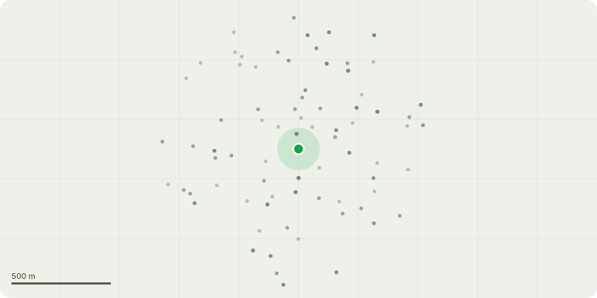
Approximate location
Proposal
HeightsElm Reducing and shaping the canopy of the taller Elm by 3.5 to 4.5 meters. We need to be closer to the higher figure as I am not aware of the trees ever having been pruned since 1988 when I bought the property and the Elm has grown to the point that it has blocked our TV Signals.Silver Birch prune the top of the shorter Birch by 2 to 3 meters. This will still retain it shorter than the Elm.WidthElm A couple of branches are now scraping against the Bay Windows of Cyprus Lodge from the Ground Floor to the top of the 2nd Floor. We would like to reduce the branches aimed at this property by 2 to 3 meters, preferably towards the latter figure for safety. We could leave the branches that grow towards the remaining directions closer to 2 meters while shaping the tree in a visually attractive fashion.Silver Birch Similarly a branch of this tree is very close to the 1st Floor Bay Window of my 27 Magdala Road property, while another is over the roofs guttering and has provided a bridge for squirrels to access the roof. For this reason, we would like to apply for an identical width trimming to the Elm 2 to 3 meters with a similar considerate shaping approach.
Key dates
- Received 9 May 2025
- Validated 3 Jun 2025
- Started 3 Jun 2025
- Decided 15 Jul 2025
Planning history / related applications
No related planning applications have been identified in the current public OGL dataset.
Inside plotEdge
Go beyond the public record
This page is the public OGL record. plotEdge adds the private intelligence layer for this site - open it in the app to unlock:
- Ownership & title Registered owner and title from HM Land Registry.
- Viability & build potential Site scoring and development upside.
- Constraints Flood risk, green belt, conservation areas and designations.
- Approval signal Planning risk and approval-likelihood analysis.
- Comparable applications Decisions on similar nearby sites, side by side.
- Status alerts Get notified the moment this application changes.
Source: public planning application data from Nottingham, reused under the Open Government Licence v3.0. View the council source record. Council documents and drawings are not republished on plotEdge.