Nottingham
Nottingham/25/00682/PTPO
The Victor Hine Hall Ransom Drive Nottingham Nottingham City NG3 5PN
- Reference
- Nottingham/25/00682/PTPO
- Authority
- Nottingham
- Application type
- PTPO
- Address
- The Victor Hine Hall Ransom Drive Nottingham Nottingham City NG3 5PN
- Postcode
- NG3 5PN
- Status
- Decided
- Decision
- Grant conditional consent
- Received
- 7 Apr 2025
- Validated
- 7 Jun 2025
- Started
- 7 Jun 2025
- Decided
- 21 Aug 2025
- Source council
- Nottingham
- Council source record
- View public record
- Public data licence
- Open Government Licence v3.0
- Record updated
- 18 Jul 2026
- SEO index generated
- 24 Jul 2026
Location
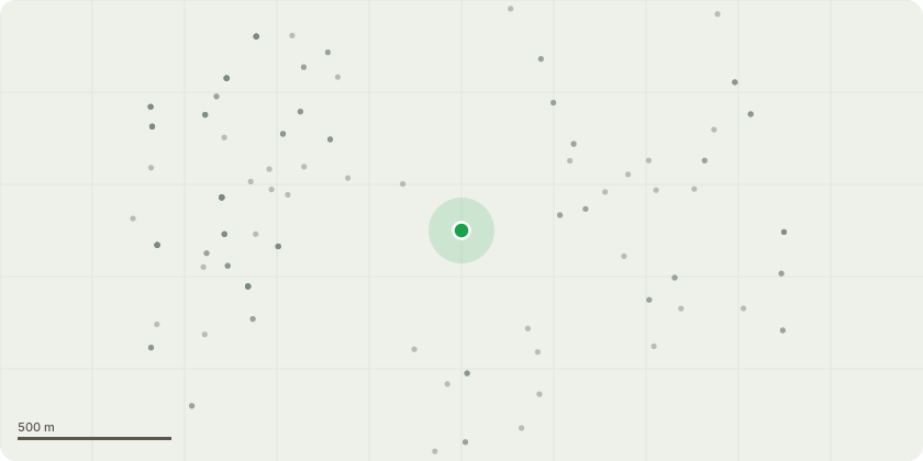
Approximate location
Proposal
Group 1, a number of multi stem, self set Sycamores growing together as 1 tree. Leaving the main rear trunk intact, sectional fell the front 3 stems reaching over properties on Stonepit Close.Tree 1, Self set Sycamore, reaching over property on Stonepit Close.Sectional fell to ground level.Group 2, Collection of closely grouped self set Sycamores.Leaving the main upright rear stems, remove branches reaching over property on Stonepit Close.The trees are located on the NNE end of a group TPO at Hine Hall on the boundary behind 5 Stonepit Close and its direct neighbours.The trees are part of extensive woodland, and the works are being asked for by the residents of Stonepit Close whose properties the trees have grown over.Should the works proceed, the growing characteristics of Sycamores will ensure lower regrowth for all the felled and removed portions of the trees.
Key dates
- Received 7 Apr 2025
- Validated 7 Jun 2025
- Started 7 Jun 2025
- Decided 21 Aug 2025
Planning history / related applications
No related planning applications have been identified in the current public OGL dataset.
Inside plotEdge
Go beyond the public record
This page is the public OGL record. plotEdge adds the private intelligence layer for this site - open it in the app to unlock:
- Ownership & title Registered owner and title from HM Land Registry.
- Viability & build potential Site scoring and development upside.
- Constraints Flood risk, green belt, conservation areas and designations.
- Approval signal Planning risk and approval-likelihood analysis.
- Comparable applications Decisions on similar nearby sites, side by side.
- Status alerts Get notified the moment this application changes.
Source: public planning application data from Nottingham, reused under the Open Government Licence v3.0. View the council source record. Council documents and drawings are not republished on plotEdge.