Nottingham
Nottingham/25/00666/PTPO
Abbey Lodge Charles Avenue Nottingham Nottingham City NG9 2SY
- Reference
- Nottingham/25/00666/PTPO
- Authority
- Nottingham
- Application type
- PTPO
- Address
- Abbey Lodge Charles Avenue Nottingham Nottingham City NG9 2SY
- Postcode
- NG9 2SY
- Status
- Decided
- Decision
- Grant conditional consent
- Received
- 3 Apr 2025
- Validated
- 3 Apr 2025
- Started
- 3 Apr 2025
- Decided
- 21 Jun 2025
- Source council
- Nottingham
- Council source record
- View public record
- Public data licence
- Open Government Licence v3.0
- Record updated
- 18 Jul 2026
- SEO index generated
- 24 Jul 2026
Location
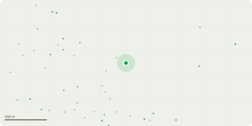
Approximate location
Proposal
Trees are situated on Abbey lodge retirement village, land owned by Stone water Housing association Tpo Lime tree group approximately 27 trees. Previous application was refused due to surveyor not in agreement with the reduced height stipulated. Please can we now have permission to reduce the tree group by 4-5 meters proportionality in accordance with British standards BS3998. As previously discussed the trees are very tall for where they are situated with narrow trunks for their height and have extremely long crown limbs. Trees of this height have a higher risk of wind exposure, there have been previously storm damaged trees that have fallen on the adjacent houses in the last 2 years. Reducing the group would help reduce the risk of failure and help prevent the potential for building damage keeping neighbours and residents safe. Please find attached arial maps highlighting the trees in red and photographs.
Key dates
- Received 3 Apr 2025
- Validated 3 Apr 2025
- Started 3 Apr 2025
- Decided 21 Jun 2025
Planning history / related applications
No related planning applications have been identified in the current public OGL dataset.
Inside plotEdge
Go beyond the public record
This page is the public OGL record. plotEdge adds the private intelligence layer for this site - open it in the app to unlock:
- Ownership & title Registered owner and title from HM Land Registry.
- Viability & build potential Site scoring and development upside.
- Constraints Flood risk, green belt, conservation areas and designations.
- Approval signal Planning risk and approval-likelihood analysis.
- Comparable applications Decisions on similar nearby sites, side by side.
- Status alerts Get notified the moment this application changes.
Source: public planning application data from Nottingham, reused under the Open Government Licence v3.0. View the council source record. Council documents and drawings are not republished on plotEdge.