Nottingham
Nottingham/25/00488/PWC
23 Village Road Nottingham Nottingham City NG11 8NP
- Reference
- Nottingham/25/00488/PWC
- Authority
- Nottingham
- Application type
- PWC
- Address
- 23 Village Road Nottingham Nottingham City NG11 8NP
- Postcode
- NG11 8NP
- Status
- Decided
- Decision
- No objection
- Received
- 18 Mar 2025
- Validated
- 18 Mar 2025
- Started
- 18 Mar 2025
- Decided
- 29 Apr 2025
- Source council
- Nottingham
- Council source record
- View public record
- Public data licence
- Open Government Licence v3.0
- Record updated
- 18 Jul 2026
- SEO index generated
- 24 Jul 2026
Location
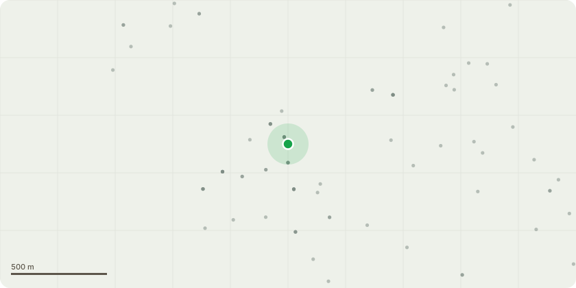
Approximate location
Proposal
Apple 1 - Maintenance prune. Removal of water sprouts, crossing branches and smaller branches to restore condition of tree. Overall crown shape and size to remain unchanged.Apple 2 - Very poor growth shape from lack of maintenance, horizontal trunk. Proposed complete removal.Magnolia - Removal of 2 small poorly pruned branches to retain natural shape.Conifers (species uncertain) - Old hedge now overgrown. Complete removal of row of 5/6 conifers adjacent to established magnolia. To improve light level to Apple 1 to the north and Magnolia to the west.Cherry - Previous work to remove a large limb was poorly completed and damaged the tree resulting in death. Permission to fell.Poplar - Tree has become very large for its location. Proposed complete removal to allow replanting of species listed below.Cluster of small trees (including Small buddlea, 2 small Acacia and 2 Lilacs) - removal of buddlea and Acacia due to poor growth shape and condition. Replacement trees to be planted in the southern quarter of the garden including silver birch, spindle, hawthorn, blackthorn, and bird or wild cherry
Key dates
- Received 18 Mar 2025
- Validated 18 Mar 2025
- Started 18 Mar 2025
- Decided 29 Apr 2025
Planning history / related applications
No related planning applications have been identified in the current public OGL dataset.
Inside plotEdge
Go beyond the public record
This page is the public OGL record. plotEdge adds the private intelligence layer for this site - open it in the app to unlock:
- Ownership & title Registered owner and title from HM Land Registry.
- Viability & build potential Site scoring and development upside.
- Constraints Flood risk, green belt, conservation areas and designations.
- Approval signal Planning risk and approval-likelihood analysis.
- Comparable applications Decisions on similar nearby sites, side by side.
- Status alerts Get notified the moment this application changes.
Source: public planning application data from Nottingham, reused under the Open Government Licence v3.0. View the council source record. Council documents and drawings are not republished on plotEdge.