Nottingham
Nottingham/25/00302/PTPO
Royal Standard House Standard Hill Nottingham Nottingham City NG1 6FX
- Reference
- Nottingham/25/00302/PTPO
- Authority
- Nottingham
- Application type
- PTPO
- Address
- Royal Standard House Standard Hill Nottingham Nottingham City NG1 6FX
- Postcode
- NG1 6FX
- Status
- Awaiting decision
- Received
- 19 Feb 2025
- Started
- 19 Feb 2025
- Source council
- Nottingham
- Council source record
- View public record
- Public data licence
- Open Government Licence v3.0
- Record updated
- 18 Jul 2026
- SEO index generated
- 24 Jul 2026
Location
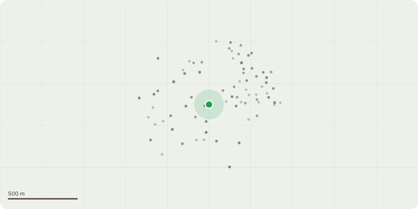
Approximate location
Proposal
T1 Acer Pseudoplatanus, insufficient rooting area with a poor quality soil substrate contributing to a reduced overall lifespan coupled with a decreased ability to withstand biotic and abiotic factors. T1 Shows an unfavourable safety of 1.29, accepted calculated safety factor is 1.5. To increase the Safety factor to the 1.5 will require a reduction of a minimum of 2m (8% reduction in height), however with the previously passed cyclical lateral reduction to ensure 1.5m of clearance from the building there is the high likelihood that the combined reduced canopy area will severly compromise the trees health. T2 Acer Pseudoplatanus, insufficient rooting area with a poor quality soil substrate contributing to a reduced overall lifespan coupled with a decreased ability to withstand biotic and abiotic factors. T2 Shows an unfavourable safety of 0.9, accepted calculated safety factor is 1.5. The level of height reduction required to increase the safety factor to 1.5 would require a 4m height reduction, resulting in a significant loss of photosynthetic area and would compromise the tree's health severely. T002 has a non-tolerable risk level when utilising The VALID methodology of Tree risk/benefit and a Tolerable by Agreement risk level if using QTRA. As we cannot impart an "agreement" with passing vehicles or pedestrians this risk level must be downgraded to "risk will not ordinarily be tolerable".
Key dates
- Received 19 Feb 2025
- Started 19 Feb 2025
Planning history / related applications
No related planning applications have been identified in the current public OGL dataset.
Inside plotEdge
Go beyond the public record
This page is the public OGL record. plotEdge adds the private intelligence layer for this site - open it in the app to unlock:
- Ownership & title Registered owner and title from HM Land Registry.
- Viability & build potential Site scoring and development upside.
- Constraints Flood risk, green belt, conservation areas and designations.
- Approval signal Planning risk and approval-likelihood analysis.
- Comparable applications Decisions on similar nearby sites, side by side.
- Status alerts Get notified the moment this application changes.
Source: public planning application data from Nottingham, reused under the Open Government Licence v3.0. View the council source record. Council documents and drawings are not republished on plotEdge.