Nottingham
Nottingham/25/00278/PTPO
57 Flewitt Gardens Nottingham Nottingham City NG3 2GP
- Reference
- Nottingham/25/00278/PTPO
- Authority
- Nottingham
- Application type
- PTPO
- Address
- 57 Flewitt Gardens Nottingham Nottingham City NG3 2GP
- Postcode
- NG3 2GP
- Status
- Decided
- Decision
- Part refuse & part grant
- Received
- 17 Feb 2025
- Validated
- 17 Feb 2025
- Started
- 17 Feb 2025
- Decided
- 15 May 2025
- Source council
- Nottingham
- Council source record
- View public record
- Public data licence
- Open Government Licence v3.0
- Record updated
- 18 Jul 2026
- SEO index generated
- 24 Jul 2026
Location
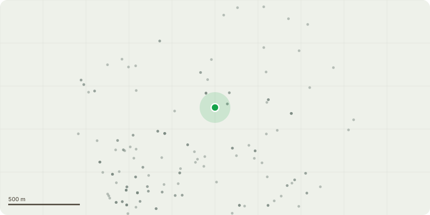
Approximate location
Proposal
Maple tree (TPO849) - whole crown reduction to <7 m above ground level, or complete removal of the tree to provide enough sunlight to our (obscuring solar panels) and neighbourhood properties. We have had multiple neighbours complaining several times about blocked view/sunlight and leaves and seeds (which germinate) being dropped into their properties and their guttering requiring expensive removal. Additionally, the tree has become so large there is a legitimate concern of its root damaging the whole streets' surface/waste water drainage running through our property which is less than 3 m distance from the tree.If the tree is trimmed, no replacement tree is required. Whereas if it is removed, we would prefer not to have a tree replaced to prevent future problems. If this is a requirement then a smaller maximum height tree / or a fruit tree would be preferred.
Key dates
- Received 17 Feb 2025
- Validated 17 Feb 2025
- Started 17 Feb 2025
- Decided 15 May 2025
Planning history / related applications
No related planning applications have been identified in the current public OGL dataset.
Inside plotEdge
Go beyond the public record
This page is the public OGL record. plotEdge adds the private intelligence layer for this site - open it in the app to unlock:
- Ownership & title Registered owner and title from HM Land Registry.
- Viability & build potential Site scoring and development upside.
- Constraints Flood risk, green belt, conservation areas and designations.
- Approval signal Planning risk and approval-likelihood analysis.
- Comparable applications Decisions on similar nearby sites, side by side.
- Status alerts Get notified the moment this application changes.
Source: public planning application data from Nottingham, reused under the Open Government Licence v3.0. View the council source record. Council documents and drawings are not republished on plotEdge.