Nottingham
Nottingham/24/02208/PWC
7 Tavistock Avenue Nottingham Nottingham City NG3 5BD
- Reference
- Nottingham/24/02208/PWC
- Authority
- Nottingham
- Application type
- PWC
- Address
- 7 Tavistock Avenue Nottingham Nottingham City NG3 5BD
- Postcode
- NG3 5BD
- Status
- Pending Consideration
- Received
- 16 Dec 2024
- Started
- 16 Dec 2024
- Source council
- Nottingham
- Council source record
- View public record
- Public data licence
- Open Government Licence v3.0
- Record updated
- 18 Jul 2026
- SEO index generated
- 24 Jul 2026
Location
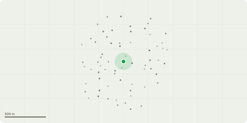
Approximate location
Proposal
The tree in question is no. T13 shown on the OS and Site Plan.The tree is a Contorted or Corkscrew Willow and it is just inside my front boundary.The tree regularly sheds branches and in the last two weeks when we had high winds it shed about 6; these branches are between 3 and 6cm diameter at the break and measure 3 to 5m long.The tree is so large now that there is a danger of the dropping branches falling into the street and the tree is so tall is is difficult for me to get to them when they break but have not yet fallen.Therefore I want permission for the crown reduction indicated on the accompanying drawings and photos.I have sought guidance from an arboriculturist who I gave the following brief to:1. I don't want the tree to die.2. I want to be able to manage its shedding of branches in a safe manner.3. I want the tree to be reduced in volume so that the chances of breaking branches are less likely to land in the street.If permission is given, once the crown reduction is carried out, the top of the tree will be around 5m above my garden level; that's about 6m above the adjacent pavement.
Key dates
- Received 16 Dec 2024
- Started 16 Dec 2024
Planning history / related applications
No related planning applications have been identified in the current public OGL dataset.
Inside plotEdge
Go beyond the public record
This page is the public OGL record. plotEdge adds the private intelligence layer for this site - open it in the app to unlock:
- Ownership & title Registered owner and title from HM Land Registry.
- Viability & build potential Site scoring and development upside.
- Constraints Flood risk, green belt, conservation areas and designations.
- Approval signal Planning risk and approval-likelihood analysis.
- Comparable applications Decisions on similar nearby sites, side by side.
- Status alerts Get notified the moment this application changes.
Source: public planning application data from Nottingham, reused under the Open Government Licence v3.0. View the council source record. Council documents and drawings are not republished on plotEdge.