Nottingham
Nottingham/24/01506/PTPO
Marlborough Hall 30 Mapperley Road Nottingham Nottingham City NG3 5AN
- Reference
- Nottingham/24/01506/PTPO
- Authority
- Nottingham
- Application type
- PTPO
- Address
- Marlborough Hall 30 Mapperley Road Nottingham Nottingham City NG3 5AN
- Postcode
- NG3 5AN
- Status
- Decided
- Decision
- Grant conditional consent
- Received
- 3 Sept 2024
- Validated
- 3 Sept 2024
- Started
- 3 Sept 2024
- Decided
- 20 Oct 2024
- Source council
- Nottingham
- Council source record
- View public record
- Public data licence
- Open Government Licence v3.0
- Record updated
- 18 Jul 2026
- SEO index generated
- 24 Jul 2026
Location
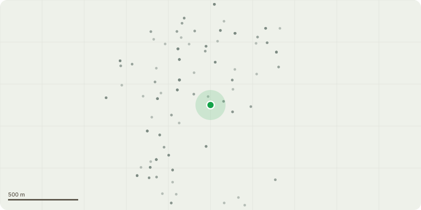
Approximate location
Proposal
Mature lime tree, shown as T1 on the BS 5837 Tree Constraints Plan. Request to remove the tree. Stump to be retained or ground out at discretion of the client. Reasons for removal: established colonisation with Ktretschmaria deusta, extensive soft rot to lower stem. Fruiting bodies to 1.2m high. 0.35m hollow to base north-west. Mallet indicates sizeable area of dysfunction including one buttress root. Located immediately adjacent to Saint Augustine's Roman Catholic Primary School. Playground well within the fall radius of the tree. Replacement replanting not recommended due to potential for Kretzsch to persist in any remaining roots and colonise new planting.- Mature ash tree, shown as T22 on the TCP. Request to remove the tree. Stump to be retained or ground out at discretion of the client. Reasons for removal: crown with advanced decline and 25-50% remaining, likely ash dieback.Significant stem base dysfunction (unknown rot type and cause) to the north, bark and cambium loss north to 2m and flaking plates of bark around to the east. Action needed due to proximity to Mapperley road and footpath.Replacement replanting not recommended due to density of trees in this area, but left to the discretion of the council.
Key dates
- Received 3 Sept 2024
- Validated 3 Sept 2024
- Started 3 Sept 2024
- Decided 20 Oct 2024
Planning history / related applications
No related planning applications have been identified in the current public OGL dataset.
Inside plotEdge
Go beyond the public record
This page is the public OGL record. plotEdge adds the private intelligence layer for this site - open it in the app to unlock:
- Ownership & title Registered owner and title from HM Land Registry.
- Viability & build potential Site scoring and development upside.
- Constraints Flood risk, green belt, conservation areas and designations.
- Approval signal Planning risk and approval-likelihood analysis.
- Comparable applications Decisions on similar nearby sites, side by side.
- Status alerts Get notified the moment this application changes.
Source: public planning application data from Nottingham, reused under the Open Government Licence v3.0. View the council source record. Council documents and drawings are not republished on plotEdge.