Nottingham
Nottingham/24/01263/PWC
15 Flat 1 All Saints Street Nottingham Nottingham City NG7 4DP
- Reference
- Nottingham/24/01263/PWC
- Authority
- Nottingham
- Application type
- PWC
- Address
- 15 Flat 1 All Saints Street Nottingham Nottingham City NG7 4DP
- Postcode
- NG7 4DP
- Status
- Pending Consideration
- Received
- 25 Jul 2024
- Started
- 25 Jul 2024
- Source council
- Nottingham
- Council source record
- View public record
- Public data licence
- Open Government Licence v3.0
- Record updated
- 18 Jul 2026
- SEO index generated
- 24 Jul 2026
Location
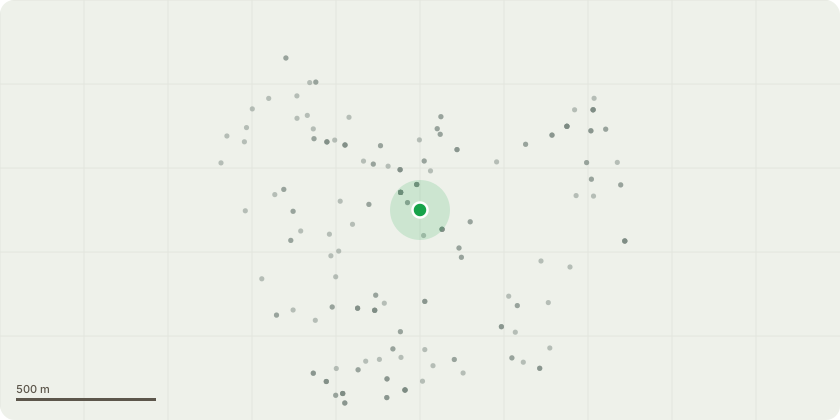
Approximate location
Proposal
Requesting the removal of a sycamore located next to the entrance of 15 all saints street, Sycamore measures approximately 16-18 meters in height and 2ft-2.5ft across at the base.The sycamores location and growth indicates this tree started as a self set, it has grown between two walls with a 1 meter distance from wall to wall.There is already signs of cracking in both walls jeopardising the structural integrity, this is one of thee main reasons for requesting removal.The base of the tree is within 4-5 meters of the corner of both buildings with the tips of limbs touching thee building.when removed ECO plugs will be applied to prevent further growth and damage to the walls.also requesting removal of small multistem cherry tree growing next to sycamore but closer to the building.cherry tree measures 2-3 meters in height and 200mm acrossCherry tree is touching the building and is in poor condition, most likely from starvation of light combatting the larger sycamore.
Key dates
- Received 25 Jul 2024
- Started 25 Jul 2024
Planning history / related applications
No related planning applications have been identified in the current public OGL dataset.
Inside plotEdge
Go beyond the public record
This page is the public OGL record. plotEdge adds the private intelligence layer for this site - open it in the app to unlock:
- Ownership & title Registered owner and title from HM Land Registry.
- Viability & build potential Site scoring and development upside.
- Constraints Flood risk, green belt, conservation areas and designations.
- Approval signal Planning risk and approval-likelihood analysis.
- Comparable applications Decisions on similar nearby sites, side by side.
- Status alerts Get notified the moment this application changes.
Source: public planning application data from Nottingham, reused under the Open Government Licence v3.0. View the council source record. Council documents and drawings are not republished on plotEdge.