North Yorkshire
North Yorkshire/ZA25/27214/LBC
Moulterbeck House Slaidburn Road High Bentham Lancaster LA2 7LT
- Reference
- North Yorkshire/ZA25/27214/LBC
- Authority
- North Yorkshire
- Application type
- Listed Building Consent
- Address
- Moulterbeck House Slaidburn Road High Bentham Lancaster LA2 7LT
- Postcode
- LA2 7LT
- Status
- Decided
- Decision
- Application Withdrawn
- Validated
- 30 Jul 2025
- Decided
- 3 Oct 2025
- Source council
- North Yorkshire
- Council source record
- View public record
- Public data licence
- Open Government Licence v3.0
- Record updated
- 12 Jun 2026
- SEO index generated
- 24 Jul 2026
Location
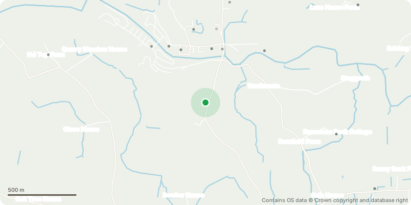
Approximate location - Contains OS data © Crown copyright and database right
Proposal
Listed building consent for internal alterations to ground floor and first floor plans to create central hallway with living accommodation to either side, including new openings, moving stairwell to central hallway, raising of ceilings and first floors. Vaulting of internal first floor ceilings with installation of breathable insulation. Installation of heritage, conservation rooflights. Installation of inset matt black solar thermal and PV panels on rear (south facing) roof pitch. Rear, single storey, garden room extension with associated extension of patio and relocation of modern garden retaining wall and associated landscaping. Demolition of existing side outshot porch/lobby with WC and detached stone and slate outbuilding and replacement with new single storey flat roofed, pavilion style, glazed link hallway to act as functional main entrance and as separation to adjoining proposed double garage with home office and guest accommodation in roof space above. Front west boundary wall to be raised with new automated gates at entrance.
Key dates
- Validated 30 Jul 2025
- Decided 3 Oct 2025
Planning history / related applications
No related planning applications have been identified in the current public OGL dataset.
Inside plotEdge
Go beyond the public record
This page is the public OGL record. plotEdge adds the private intelligence layer for this site - open it in the app to unlock:
- Ownership & title Registered owner and title from HM Land Registry.
- Viability & build potential Site scoring and development upside.
- Constraints Flood risk, green belt, conservation areas and designations.
- Approval signal Planning risk and approval-likelihood analysis.
- Comparable applications Decisions on similar nearby sites, side by side.
- Status alerts Get notified the moment this application changes.
Source: public planning application data from North Yorkshire, reused under the Open Government Licence v3.0. View the council source record. Council documents and drawings are not republished on plotEdge.