North Yorkshire
North Yorkshire/ZA24/26463/TPO
10 Grassington Road Skipton BD23 1LL
- Reference
- North Yorkshire/ZA24/26463/TPO
- Authority
- North Yorkshire
- Application type
- Works to a tree with a TPO
- Address
- 10 Grassington Road Skipton BD23 1LL
- Postcode
- BD23 1LL
- Status
- Decided
- Decision
- Split Decision
- Validated
- 24 Oct 2024
- Decided
- 4 Dec 2024
- Source council
- North Yorkshire
- Council source record
- View public record
- Public data licence
- Open Government Licence v3.0
- Record updated
- 10 Jun 2026
- SEO index generated
- 24 Jul 2026
Location
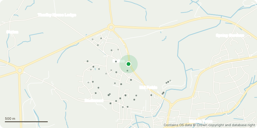
Approximate location - Contains OS data © Crown copyright and database right
Proposal
1 - Elm - Crown clean by 10%, remove bottom left branch that is preventing yew growth. 2 - Common Beech - 20% crown clean, remove any crossing branches. 3 - Cherry - To be removed as it is leaning badly, tail and spindly tree with any growth all on cleaning side. Re-plant new tree of chosen species. 4 - Holly - Reduce in height by 4 metres. 5 - Sycamore - To be removed for safety reasons as it is pushing down dry stone wall adjacent to Grassington Road. 6 - Holly - To be removed as it is suffocating surrounding maples. 7 - Beech - Reduce in height by 4 metres. 8 - Apple - Pruned back to previous pruning points. 9 - Larch - To be removed as very spindly and adds no value. Space to be freed up for neighbouring mature trees. 10 - Spruce - Reduced in height by 5 metres and crown lift to 5 metres. 11 - Larch - To be removed due to early signs of phytophthora. Re-plant new tree of chosen species. 12 - Scots Pine - To be removed to encourage spread of surrounding deciduous trees. 13 - Holly - Reduce in height by 2 metres.
Key dates
- Validated 24 Oct 2024
- Decided 4 Dec 2024
Planning history / related applications
No related planning applications have been identified in the current public OGL dataset.
Inside plotEdge
Go beyond the public record
This page is the public OGL record. plotEdge adds the private intelligence layer for this site - open it in the app to unlock:
- Ownership & title Registered owner and title from HM Land Registry.
- Viability & build potential Site scoring and development upside.
- Constraints Flood risk, green belt, conservation areas and designations.
- Approval signal Planning risk and approval-likelihood analysis.
- Comparable applications Decisions on similar nearby sites, side by side.
- Status alerts Get notified the moment this application changes.
Source: public planning application data from North Yorkshire, reused under the Open Government Licence v3.0. View the council source record. Council documents and drawings are not republished on plotEdge.