North Yorkshire
North Yorkshire/ZA23/25066/TCA
Ashness High Street Burton In Lonsdale Carnforth LA6 3JP
- Reference
- North Yorkshire/ZA23/25066/TCA
- Authority
- North Yorkshire
- Application type
- Works to a tree in a Conservation Area
- Address
- Ashness High Street Burton In Lonsdale Carnforth LA6 3JP
- Postcode
- LA6 3JP
- Status
- Decided
- Decision
- Approve Tree Works in Conservation Area
- Validated
- 5 Jun 2023
- Decided
- 20 Jul 2023
- Source council
- North Yorkshire
- Council source record
- View public record
- Public data licence
- Open Government Licence v3.0
- Record updated
- 10 Jun 2026
- SEO index generated
- 24 Jul 2026
Location
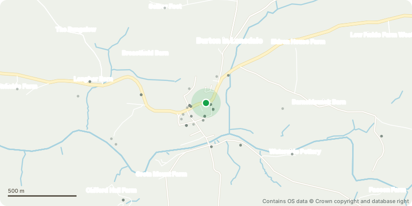
Approximate location - Contains OS data © Crown copyright and database right
Proposal
The tree in question is a mature Sycamore (Acer psuedoplatanus) and is located in our back garden. It is mostly within our boundary though it is also within the boundary of the garden 'next door', which belongs to our neighbours three doors down. We have spoken to them about the the tree and they are also keen to have it crowned, lifted, or ideally removed. The reasons are mainly for the sunlight it blocks to both gardens. The tree is not under a TPO. It is a fairly large specimen, though not a great one, with a four-stemmed trunk and covered in ivy from top to bottom. A good friend of mine is a professional tree surgeon and asked me to begin this process before committing to a strategy and with it a quotation for the works. He'd like to know what, if anything is possible before coming up with a plan.
Key dates
- Validated 5 Jun 2023
- Decided 20 Jul 2023
Planning history / related applications
No related planning applications have been identified in the current public OGL dataset.
Inside plotEdge
Go beyond the public record
This page is the public OGL record. plotEdge adds the private intelligence layer for this site - open it in the app to unlock:
- Ownership & title Registered owner and title from HM Land Registry.
- Viability & build potential Site scoring and development upside.
- Constraints Flood risk, green belt, conservation areas and designations.
- Approval signal Planning risk and approval-likelihood analysis.
- Comparable applications Decisions on similar nearby sites, side by side.
- Status alerts Get notified the moment this application changes.
Source: public planning application data from North Yorkshire, reused under the Open Government Licence v3.0. View the council source record. Council documents and drawings are not republished on plotEdge.