North Yorkshire
North Yorkshire/HGTZC25/00573/DISCON
Darley Mill Darley Carr Darley Harrogate North Yorkshire HG3 2QQ
- Reference
- North Yorkshire/HGTZC25/00573/DISCON
- Authority
- North Yorkshire
- Application type
- DISCON
- Address
- Darley Mill Darley Carr Darley Harrogate North Yorkshire HG3 2QQ
- Postcode
- HG3 2QQ
- Status
- Decided
- Decision
- Confirmation of discharge of conditions
- Received
- 24 Feb 2025
- Validated
- 6 Mar 2025
- Started
- 6 Mar 2025
- Decided
- 20 Oct 2025
- Source council
- North Yorkshire
- Council source record
- View public record
- Public data licence
- Open Government Licence v3.0
- Record updated
- 2 Jul 2026
- SEO index generated
- 24 Jul 2026
Location
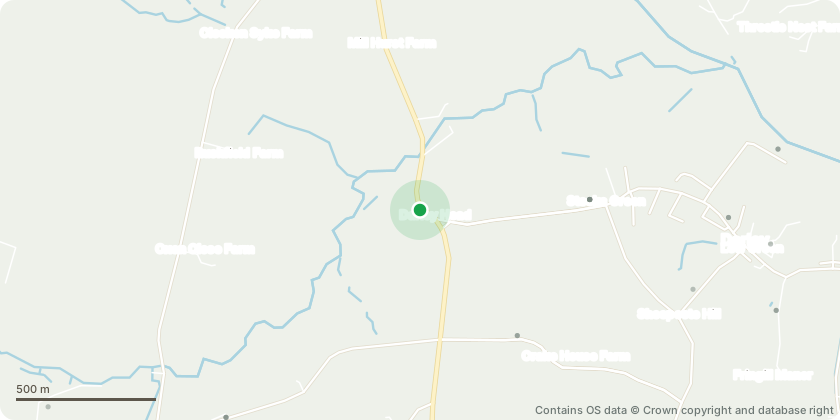
Approximate location - Contains OS data © Crown copyright and database right
Proposal
Approval of details under conditions 3 (Land Contamination Phase II Report) 4 (Land Contamination Remediation Strategy), 11 (Construction Ecological Management Plan) 12 (Dust, Noise and Vibration Management Plan) 15 (wheel & chassis washing facilities) 16 (Contractors parking) 17 (plant & materials storage areas) 18 (Deliveries, routing, loading and unloading), 19 (HGV Construction Traffic routing and highway condition survey) 20 (Protection of the carriageway and footway) 22 (Hoardings etc) 24 (Disposal of Waste) 26 (Responsible Person Contact Details) of Section 73 permission ZC24/03651/DVCMAJ which allowed a varied scheme to that originally permitted by Planning Permission 20/05216/FULMAJ for the conversion and extension of Mill Building to form 9 Residential Units, erection of storage building/car port, 11 dwellings, detached garage and other external works including car parking.
Key dates
- Received 24 Feb 2025
- Validated 6 Mar 2025
- Started 6 Mar 2025
- Decided 20 Oct 2025
Planning history / related applications
No related planning applications have been identified in the current public OGL dataset.
Inside plotEdge
Go beyond the public record
This page is the public OGL record. plotEdge adds the private intelligence layer for this site - open it in the app to unlock:
- Ownership & title Registered owner and title from HM Land Registry.
- Viability & build potential Site scoring and development upside.
- Constraints Flood risk, green belt, conservation areas and designations.
- Approval signal Planning risk and approval-likelihood analysis.
- Comparable applications Decisions on similar nearby sites, side by side.
- Status alerts Get notified the moment this application changes.
Source: public planning application data from North Yorkshire, reused under the Open Government Licence v3.0. View the council source record. Council documents and drawings are not republished on plotEdge.