North Yorkshire
North Yorkshire/26/02108/TCON
3 Church Close Carleton North Yorkshire BD23 3DF
- Reference
- North Yorkshire/26/02108/TCON
- Authority
- North Yorkshire
- Application type
- TCON
- Address
- 3 Church Close Carleton North Yorkshire BD23 3DF
- Postcode
- BD23 3DF
- Status
- Decided
- Decision
- Tree Work in Conservation Area approved
- Received
- 27 Apr 2026
- Validated
- 27 Apr 2026
- Started
- 27 Apr 2026
- Decided
- 13 May 2026
- Source council
- North Yorkshire
- Council source record
- View public record
- Public data licence
- Open Government Licence v3.0
- Record updated
- 2 Jul 2026
- SEO index generated
- 24 Jul 2026
Location
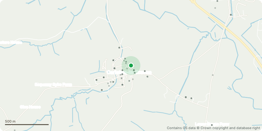
Approximate location - Contains OS data © Crown copyright and database right
Proposal
Front garden works: pruning back hedge and removal of two 'trees' that obstruct use of our driveway. - at the moment we cannot open the drive gate fully and get our car on the drive as the hedge has not been maintained sufficiently. - C1: a Common Box is obstructing the gate and we would like to remove it completely.- E1: this Arborvitae is also dominant and threaten access to the back garden. We would like to remove it completely and allow the Beech (A4) or Elder (D1) to thrive- We have identified a Rowan A1 (not currently a 'tree') next to C1 and an Elder D1 (not currently a 'tree') next to E1 which we would like to keep and manage as a native species once space is freed up. - A1-4: these Beeches have been allowed to over extend too far into the driveway. Trunks vary in size. We want to keep these but prune them back into manage them into a more appropriate size for the property and allow drive access
Key dates
- Received 27 Apr 2026
- Validated 27 Apr 2026
- Started 27 Apr 2026
- Decided 13 May 2026
Planning history / related applications
No related planning applications have been identified in the current public OGL dataset.
Inside plotEdge
Go beyond the public record
This page is the public OGL record. plotEdge adds the private intelligence layer for this site - open it in the app to unlock:
- Ownership & title Registered owner and title from HM Land Registry.
- Viability & build potential Site scoring and development upside.
- Constraints Flood risk, green belt, conservation areas and designations.
- Approval signal Planning risk and approval-likelihood analysis.
- Comparable applications Decisions on similar nearby sites, side by side.
- Status alerts Get notified the moment this application changes.
Source: public planning application data from North Yorkshire, reused under the Open Government Licence v3.0. View the council source record. Council documents and drawings are not republished on plotEdge.