North Yorkshire
North Yorkshire/26/00332/TCON
Skipton Girls High School Gargrave Road Skipton North Yorkshire BD23 1QL
- Reference
- North Yorkshire/26/00332/TCON
- Authority
- North Yorkshire
- Application type
- Tree works in Conservation Areas
- Address
- Skipton Girls High School Gargrave Road Skipton North Yorkshire BD23 1QL
- Postcode
- BD23 1QL
- Status
- Registered
- Validated
- 23 Jan 2026
- Source council
- North Yorkshire
- Council source record
- View public record
- Public data licence
- Open Government Licence v3.0
- Record updated
- 2 Jul 2026
- SEO index generated
- 24 Jul 2026
Location
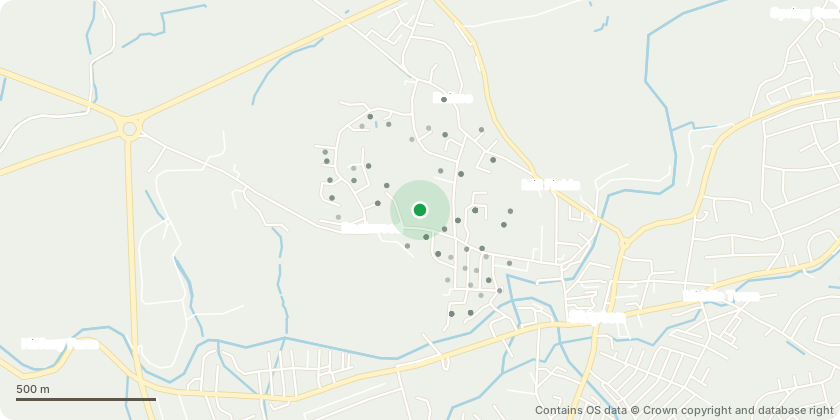
Approximate location - Contains OS data © Crown copyright and database right
Proposal
Works to trees in Skipton Conservation area Fell 1no. tree The other three trees also sway strongly during storms/wind and have the potential to collide with school buildings situated to the East and South of the trees, as well as towards the neighbouring gardens. The fourth tree along from the left had a ~8m branch snap last year (January 2025) during a strong winds (see images below), the third tree along had a ~6m branch snap off at the same time. Both of these issues were sorted without issue, with the branches remaining attached at the breaks and cut accordingly. Noticeable deadwood is present in both of the trees that suffered snapping branches last year. The owner of Massa Flats Wood has been contacted and approved the removal of all four trees, upon successful planning permission of this work.
Key dates
- Validated 23 Jan 2026
Planning history / related applications
No related planning applications have been identified in the current public OGL dataset.
Inside plotEdge
Go beyond the public record
This page is the public OGL record. plotEdge adds the private intelligence layer for this site - open it in the app to unlock:
- Ownership & title Registered owner and title from HM Land Registry.
- Viability & build potential Site scoring and development upside.
- Constraints Flood risk, green belt, conservation areas and designations.
- Approval signal Planning risk and approval-likelihood analysis.
- Comparable applications Decisions on similar nearby sites, side by side.
- Status alerts Get notified the moment this application changes.
Source: public planning application data from North Yorkshire, reused under the Open Government Licence v3.0. View the council source record. Council documents and drawings are not republished on plotEdge.