North Yorkshire
North Yorkshire/25/01926/DVCMAJ
Land At Brickyard Road Boroughbridge Industrial Estate Boroughbridge Harrogate YO51 9NS
- Reference
- North Yorkshire/25/01926/DVCMAJ
- Authority
- North Yorkshire
- Application type
- DVCMAJ
- Address
- Land At Brickyard Road Boroughbridge Industrial Estate Boroughbridge Harrogate YO51 9NS
- Postcode
- YO51 9NS
- Status
- Decided
- Decision
- Application Permitted
- Received
- 5 Jun 2025
- Validated
- 29 Jul 2025
- Started
- 29 Jul 2025
- Decided
- 20 Nov 2025
- Source council
- North Yorkshire
- Council source record
- View public record
- Public data licence
- Open Government Licence v3.0
- Record updated
- 2 Jul 2026
- SEO index generated
- 24 Jul 2026
Location
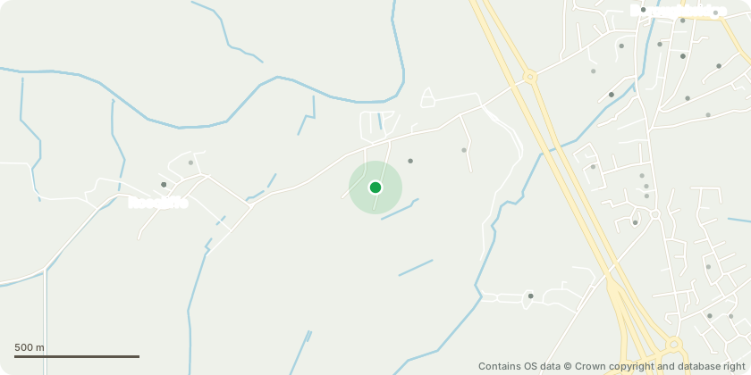
Approximate location - Contains OS data © Crown copyright and database right
Proposal
Section 73 application to vary conditions 4, 28 and 33 of planning permission ZC24/00009/OUTMAJ for 1450sq.m workshop and office, HGV sales, service areas and car parking and outline permission with access and landscaping considered for up to 3350sq.m Class E(ii)(iii) /B2/B8 workspace units to allow for the installation of two substations with consequential relocation of native planting, hedges and trees, additional shrub planting and gravel beds to the west boundary; layout changes to pedestrian gate and path and replacement of entrance fence line hedge with a gravel bed to plot 1; relocation of car park shrub planting to plot 2; and to defer the submission of a Building Research Establishment Design Stage Certificate to within 9 months of commencement rather than 3.
Key dates
- Received 5 Jun 2025
- Validated 29 Jul 2025
- Started 29 Jul 2025
- Decided 20 Nov 2025
Planning history / related applications
No related planning applications have been identified in the current public OGL dataset.
Inside plotEdge
Go beyond the public record
This page is the public OGL record. plotEdge adds the private intelligence layer for this site - open it in the app to unlock:
- Ownership & title Registered owner and title from HM Land Registry.
- Viability & build potential Site scoring and development upside.
- Constraints Flood risk, green belt, conservation areas and designations.
- Approval signal Planning risk and approval-likelihood analysis.
- Comparable applications Decisions on similar nearby sites, side by side.
- Status alerts Get notified the moment this application changes.
Source: public planning application data from North Yorkshire, reused under the Open Government Licence v3.0. View the council source record. Council documents and drawings are not republished on plotEdge.