North Yorkshire
North Yorkshire/25/01685/AMENDS
Wood Grove 63 Westfield Road Tockwith North Yorkshire YO26 7PY
- Reference
- North Yorkshire/25/01685/AMENDS
- Authority
- North Yorkshire
- Application type
- AMENDS
- Address
- Wood Grove 63 Westfield Road Tockwith North Yorkshire YO26 7PY
- Postcode
- YO26 7PY
- Status
- Decided
- Decision
- Application Refused
- Received
- 19 May 2025
- Validated
- 19 May 2025
- Started
- 19 May 2025
- Decided
- 12 Jun 2025
- Source council
- North Yorkshire
- Council source record
- View public record
- Public data licence
- Open Government Licence v3.0
- Record updated
- 2 Jul 2026
- SEO index generated
- 24 Jul 2026
Location
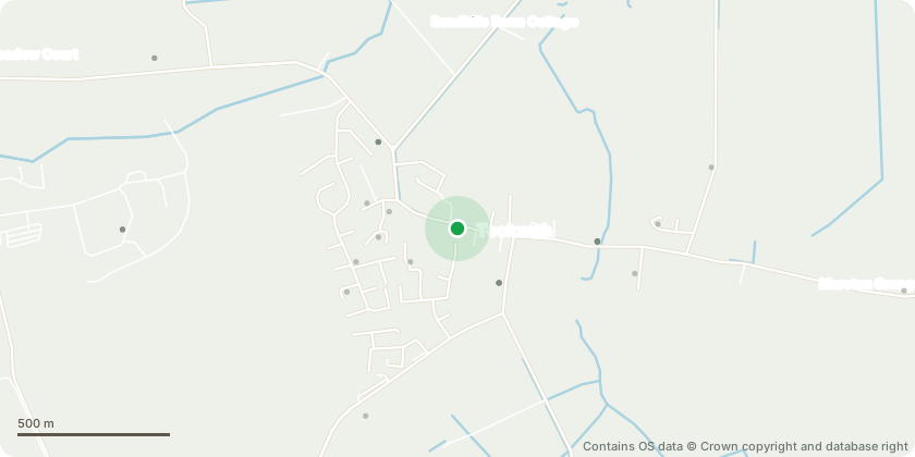
Approximate location - Contains OS data © Crown copyright and database right
Proposal
Application for a non-material amendment to application HGTZC23/02549/FUL to allow an amendment to the previously agreed drainage scheme.The original planning application gained permission for the extension and garage to be split into two systems with the foul water discharging into the combined sewer, and the surface water discharging to the open culvert at a restricted rate. We would like to seek permission to further separate out the systems, and increase the flow rate to the culvert.A - Existing house - foul and surface water discharged into the combined sewer as existing.B - Extension and small part of the rear of the house - foul to be discharged into the existing combined sewer, and the surface water discharged into the covered culvert. There is no increase in impermeable surface area since the new build area is equivalent to the old outbuildings which were demolished by the previous owners. We are seeking the amendment of the flow rate to the culvert from 0.5l/s to 2.95l/s, based on a peak flow for 1in 100 year + 30% climate change. i=80.5mm/hr over an area of 132sq.m = 2.95l/s.C - Garage - A rainwater harvesting tank to be located above ground as indicated on drawing 105-108A, with an overflow running to ground. This would allow for the garage area to be omitted from the flow calculations for the extension.The driveway is to remain as open textured gravel, allowing for natural percolation.
Key dates
- Received 19 May 2025
- Validated 19 May 2025
- Started 19 May 2025
- Decided 12 Jun 2025
Planning history / related applications
No related planning applications have been identified in the current public OGL dataset.
Inside plotEdge
Go beyond the public record
This page is the public OGL record. plotEdge adds the private intelligence layer for this site - open it in the app to unlock:
- Ownership & title Registered owner and title from HM Land Registry.
- Viability & build potential Site scoring and development upside.
- Constraints Flood risk, green belt, conservation areas and designations.
- Approval signal Planning risk and approval-likelihood analysis.
- Comparable applications Decisions on similar nearby sites, side by side.
- Status alerts Get notified the moment this application changes.
Source: public planning application data from North Yorkshire, reused under the Open Government Licence v3.0. View the council source record. Council documents and drawings are not republished on plotEdge.