North Yorkshire
North Yorkshire/2022/24304/FUL
Skipton Railway Station Broughton Road Skipton BD23 1RT
- Reference
- North Yorkshire/2022/24304/FUL
- Authority
- North Yorkshire
- Application type
- Full Application
- Address
- Skipton Railway Station Broughton Road Skipton BD23 1RT
- Postcode
- BD23 1RT
- Status
- Decided
- Decision
- Approve with Conditions
- Validated
- 10 Aug 2022
- Decided
- 23 Nov 2023
- Source council
- North Yorkshire
- Council source record
- View public record
- Public data licence
- Open Government Licence v3.0
- Record updated
- 2 Jul 2026
- SEO index generated
- 24 Jul 2026
Location
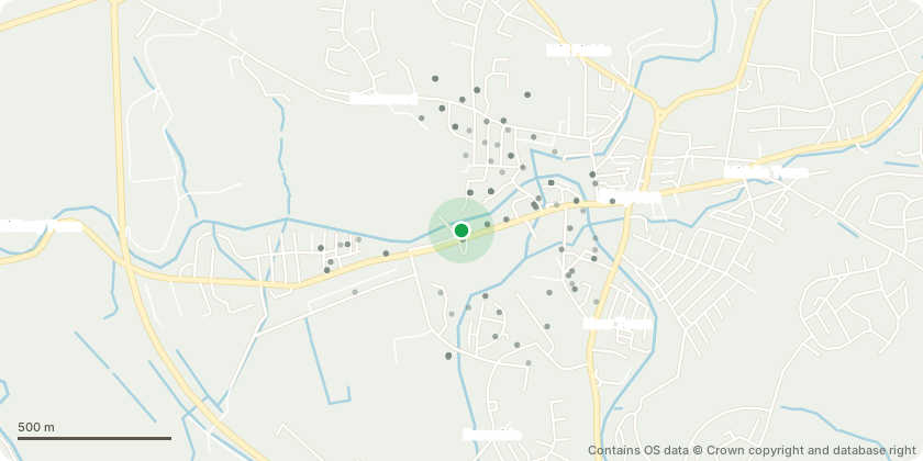
Approximate location - Contains OS data © Crown copyright and database right
Proposal
Reconfiguration of Skipton Railway Station car park; relocation of the existing substation within the station car park; increase in provision of disabled parking spaces and Electric Vehicle (EV) charging bays; a new bus stop and drop off/coach parking point; provision of a cycle and pedestrian access from Broughton Road into the station car park and formalised taxi pick up/drop off location and taxi shelter; reconfiguration of the existing staff car park; removal of 12 no. trees within the station car park to accommodate reconfiguration of parking spaces; provision of 19 no. trees within the station car park with an additional 17 no. trees within Aireville Park; realignment of the partially demolished stone wall within the west of the station car park; construction of 25m of Yorkstone wall within the east of the station car park; improvements to external visitor facilities within the station car park including the provision of a cycle shelter, seating, lighting around the perimeter of the station car park and a safe crossing point; resurfacing of Black Walk; boundary treatment; living pillars and construction of stepped access to Morrison's car park.
Key dates
- Validated 10 Aug 2022
- Decided 23 Nov 2023
Planning history / related applications
No related planning applications have been identified in the current public OGL dataset.
Inside plotEdge
Go beyond the public record
This page is the public OGL record. plotEdge adds the private intelligence layer for this site - open it in the app to unlock:
- Ownership & title Registered owner and title from HM Land Registry.
- Viability & build potential Site scoring and development upside.
- Constraints Flood risk, green belt, conservation areas and designations.
- Approval signal Planning risk and approval-likelihood analysis.
- Comparable applications Decisions on similar nearby sites, side by side.
- Status alerts Get notified the moment this application changes.
Source: public planning application data from North Yorkshire, reused under the Open Government Licence v3.0. View the council source record. Council documents and drawings are not republished on plotEdge.