North Yorkshire

North Yorkshire/05/2005/5548

Crossgates Farm Bank Newton Skipton North Yorkshire BD23 3NT
Decided | Approve
Reference
North Yorkshire/05/2005/5548
Authority
North Yorkshire
Address
Crossgates Farm Bank Newton Skipton North Yorkshire BD23 3NT
Postcode
BD23 3NT
Status
Decided
Decision
Approve
Validated
7 Jul 2005
Decided
7 Sept 2005
Source council
North Yorkshire
Council source record
View public record
Public data licence
Open Government Licence v3.0
Record updated
2 Jul 2026
SEO index generated
24 Jul 2026
Open this site in plotEdge

Location

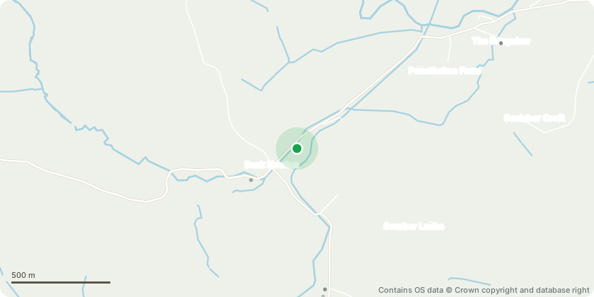
Static location map showing the position of planning application North Yorkshire/05/2005/5548 in North Yorkshire

Approximate location - Contains OS data © Crown copyright and database right

Proposal

RETROSPECTIVE APPLICATION TO EXPOSE TWO ORIGINAL WINDOW OPENINGS

Key dates

  1. Validated 7 Jul 2005
  2. Decided 7 Sept 2005

Planning history / related applications

This record has 2 related public planning records from 2005 to 2011: 2 approved.

  1. 22 Jun 2005
    Approved Same address

    North Yorkshire/05/2005/5358

    Crossgates Farm Bank Newton Skipton North Yorkshire BD23 3NT

    Decided | Approve
  2. 25 Aug 2011
    Approved Same address

    North Yorkshire/05/2011/11899

    Crossgates Farm Bank Newton Skipton North Yorkshire BD23 3NT

    Decided | Approve

Inside plotEdge

Go beyond the public record

This page is the public OGL record. plotEdge adds the private intelligence layer for this site - open it in the app to unlock:

  • Ownership & title Registered owner and title from HM Land Registry.
  • Viability & build potential Site scoring and development upside.
  • Constraints Flood risk, green belt, conservation areas and designations.
  • Approval signal Planning risk and approval-likelihood analysis.
  • Comparable applications Decisions on similar nearby sites, side by side.
  • Status alerts Get notified the moment this application changes.
Open this site in plotEdge

Source: public planning application data from North Yorkshire, reused under the Open Government Licence v3.0. View the council source record. Council documents and drawings are not republished on plotEdge.