North York Moors National Park
North York Moors National Park/NYM/2023/0636
Newton House, Thorpe Lane, Fylingthorpe, Whitby, North Yorkshire, YO22 4TN
- Reference
- North York Moors National Park/NYM/2023/0636
- Authority
- North York Moors National Park
- Application type
- Works to Trees in Conservation Areas (CA)
- Address
- Newton House, Thorpe Lane, Fylingthorpe, Whitby, North Yorkshire, YO22 4TN
- Postcode
- YO22 4TN
- Status
- Determined
- Decision
- No objections
- Received
- 25 Sept 2023
- Started
- 25 Sept 2023
- Decided
- 6 Nov 2023
- Source council
- North York Moors National Park
- Council source record
- View public record
- Public data licence
- Open Government Licence v3.0
- Record updated
- 18 Jul 2026
- SEO index generated
- 24 Jul 2026
Location
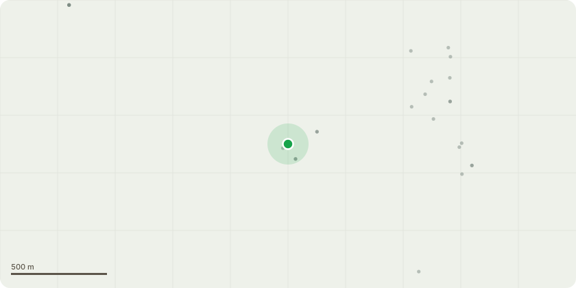
Approximate location
Proposal
The Fagus sylvatica(T1) will be repollarded to British standards 3998:2010. Carrying out these works will help gain clearance from adjacent properties and reduce the risk of potential damage from week unions that could potentially tear out from the crown. The Malus domestica(T2) will be reduced by 30% to British standards 3998:2010. This work is being carried out to provide clearance from the adjacent properties and adjacent gardens. Another reason this work is being carried out, is because one branch has already failed and collapsed into the neighbouring garden. This work will reduce the hazards and potential problems this tree could cause to buildings. All waste will be chipped and disposed of in accordance with British standards 2998:2010. Please see sketch map/for exact location of these trees in the garden.
Key dates
- Received 25 Sept 2023
- Started 25 Sept 2023
- Decided 6 Nov 2023
Planning history / related applications
No related planning applications have been identified in the current public OGL dataset.
Inside plotEdge
Go beyond the public record
This page is the public OGL record. plotEdge adds the private intelligence layer for this site - open it in the app to unlock:
- Ownership & title Registered owner and title from HM Land Registry.
- Viability & build potential Site scoring and development upside.
- Constraints Flood risk, green belt, conservation areas and designations.
- Approval signal Planning risk and approval-likelihood analysis.
- Comparable applications Decisions on similar nearby sites, side by side.
- Status alerts Get notified the moment this application changes.
Source: public planning application data from North York Moors National Park, reused under the Open Government Licence v3.0. View the council source record. Council documents and drawings are not republished on plotEdge.