North York Moors National Park
North York Moors National Park/NYM/2023/0494
5 Castlegate, East Ayton, Scarborough, North Yorkshire, YO13 9EJ
- Reference
- North York Moors National Park/NYM/2023/0494
- Authority
- North York Moors National Park
- Application type
- Works to Trees in Conservation Areas (CA)
- Address
- 5 Castlegate, East Ayton, Scarborough, North Yorkshire, YO13 9EJ
- Postcode
- YO13 9EJ
- Status
- Determined
- Decision
- No objections
- Received
- 28 Jul 2023
- Started
- 28 Jul 2023
- Decided
- 8 Aug 2023
- Source council
- North York Moors National Park
- Council source record
- View public record
- Public data licence
- Open Government Licence v3.0
- Record updated
- 18 Jul 2026
- SEO index generated
- 24 Jul 2026
Location
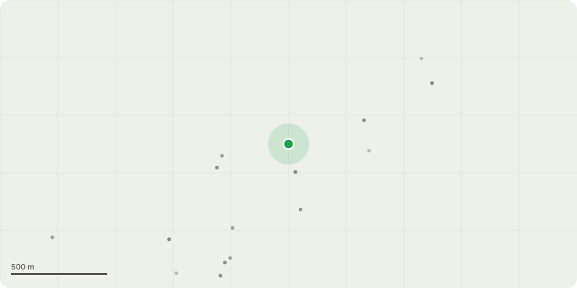
Approximate location
Proposal
1) Elderflower ??? Fell. The tree is causing damage to the garage, studio and workshop roofs and walls. Its too large for the space and it making that corner very damp and dark. We need to replace the roofs and repair walls on all 3 outbuildings and need the area clear to do this work and then to prevent further damage to the new roofs and walls. 2) Elderflower ??? Fell. It has grown too large for the space and it cutting out too much light to the vegetable garden 3) Cherry ??? Fell (If too much of it is dead) This tree looks to be about 50% dead. I would like to keep it but if the arborist recommends it should also be felled then that may be necessary. Hopefully by taking out the Elderflower tree next to it may come back better next year 4) Holly ??? Lift crown enough so we can walk underneath to mow the grass. 5) Ash - Lift crown enough so we can walk underneath to mow the grass. Currently lower limbs are grazing the floor. 6-9) This whole stretch is a mixture of Brambles, Ivy, Currants and Hawthorn. We want to cut back to an 8ft hedgerow to tidy up and allow more light into the vegetable garden 10) Variegated Holly ??? No Action 11) Holly ??? No Action
Key dates
- Received 28 Jul 2023
- Started 28 Jul 2023
- Decided 8 Aug 2023
Planning history / related applications
No related planning applications have been identified in the current public OGL dataset.
Inside plotEdge
Go beyond the public record
This page is the public OGL record. plotEdge adds the private intelligence layer for this site - open it in the app to unlock:
- Ownership & title Registered owner and title from HM Land Registry.
- Viability & build potential Site scoring and development upside.
- Constraints Flood risk, green belt, conservation areas and designations.
- Approval signal Planning risk and approval-likelihood analysis.
- Comparable applications Decisions on similar nearby sites, side by side.
- Status alerts Get notified the moment this application changes.
Source: public planning application data from North York Moors National Park, reused under the Open Government Licence v3.0. View the council source record. Council documents and drawings are not republished on plotEdge.