North York Moors National Park
North York Moors National Park/NYM/2023/0040
Thorpe Hall, Middlewood Lane, Fylingthorpe, Whitby, North Yorkshire, YO22 4TT
- Reference
- North York Moors National Park/NYM/2023/0040
- Authority
- North York Moors National Park
- Application type
- Works to Trees in Conservation Areas (CA)
- Address
- Thorpe Hall, Middlewood Lane, Fylingthorpe, Whitby, North Yorkshire, YO22 4TT
- Postcode
- YO22 4TT
- Status
- Determined
- Decision
- No objections
- Received
- 2 Jan 2023
- Started
- 2 Jan 2023
- Decided
- 30 Jan 2023
- Source council
- North York Moors National Park
- Council source record
- View public record
- Public data licence
- Open Government Licence v3.0
- Record updated
- 18 Jul 2026
- SEO index generated
- 24 Jul 2026
Location
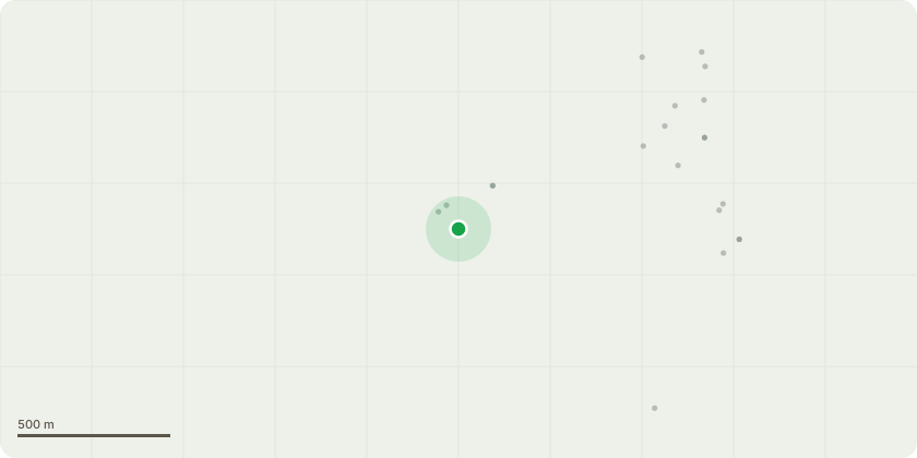
Approximate location
Proposal
T2811 Copper Beech - fell - tree roots infected with honey fungus visible at base and canopy die back. Tree is close to road and properties. T2812 Beech - fell - visible evidence of brittle cinder fungus leading to tree instability. Tree is adjacent to road and properties. T2814 Beech - fell - visible adaptive growth suggesting internal decay, visible fruiting bodies. Tree is adjacent to road and properties. T2816 Beech - fell - substantial brittle cinder fungus. Little visual impact of tree removal. T2802 and T2804 Turkey Oak - removal of dead branches and areas of tip dieback - crown lift to 5.5m above road. T2851 Bay - crown reduction by 1-2 metres to reduce weight on stem - large, multi stemmed tree shows fruiting bodies and associated canopy decline. T2848 Cider Gum - fell - poorly developing tree of little value, poorly located and impacting on other trees. T2843 New Zealand Cabbage - fell - species out of place and inappropriate to surrounding area.
Key dates
- Received 2 Jan 2023
- Started 2 Jan 2023
- Decided 30 Jan 2023
Planning history / related applications
No related planning applications have been identified in the current public OGL dataset.
Inside plotEdge
Go beyond the public record
This page is the public OGL record. plotEdge adds the private intelligence layer for this site - open it in the app to unlock:
- Ownership & title Registered owner and title from HM Land Registry.
- Viability & build potential Site scoring and development upside.
- Constraints Flood risk, green belt, conservation areas and designations.
- Approval signal Planning risk and approval-likelihood analysis.
- Comparable applications Decisions on similar nearby sites, side by side.
- Status alerts Get notified the moment this application changes.
Source: public planning application data from North York Moors National Park, reused under the Open Government Licence v3.0. View the council source record. Council documents and drawings are not republished on plotEdge.