North York Moors National Park
North York Moors National Park/NYM/2022/0580
74 North End, Osmotherley, North Yorkshire, DL6 3BH
- Reference
- North York Moors National Park/NYM/2022/0580
- Authority
- North York Moors National Park
- Application type
- Works to Trees in Conservation Areas (CA)
- Address
- 74 North End, Osmotherley, North Yorkshire, DL6 3BH
- Postcode
- DL6 3BH
- Status
- Determined
- Decision
- No objection following amendments to proposed works
- Received
- 3 Aug 2022
- Started
- 3 Aug 2022
- Decided
- 20 Sept 2022
- Source council
- North York Moors National Park
- Council source record
- View public record
- Public data licence
- Open Government Licence v3.0
- Record updated
- 18 Jul 2026
- SEO index generated
- 24 Jul 2026
Location
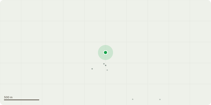
Approximate location
Proposal
The trees are Beech trees, there appears to be four of them, very close together. i am applying to remove the trees due to the proximity to mine and neighbouring houses, the trees are very tall and leaning towards the properties. The trees are very close to the rear of my house - number 74 - and also overhang and are close to neighbouring properties, 76 and 72 North End. My neighbours have been consulted and are keen for the work to be carried out as the trees block light to their properties and the size of them also causes concern so close to the houses. The back gardens face on to an agricultural field, so I will need to gain permission from the landowner to gain access to the field in order to carry out the works as it will not be possible to do from the garden side of the trees due to the terraced housing and lack of through way to the front of the house. The trees are right on the boundary of the conservation area. I have been advised by Angus Forsyth, Tree Surgeon, about the removal of the trees and if the application is successful, plan to employ him to remove the trees safely.
Key dates
- Received 3 Aug 2022
- Started 3 Aug 2022
- Decided 20 Sept 2022
Planning history / related applications
No related planning applications have been identified in the current public OGL dataset.
Inside plotEdge
Go beyond the public record
This page is the public OGL record. plotEdge adds the private intelligence layer for this site - open it in the app to unlock:
- Ownership & title Registered owner and title from HM Land Registry.
- Viability & build potential Site scoring and development upside.
- Constraints Flood risk, green belt, conservation areas and designations.
- Approval signal Planning risk and approval-likelihood analysis.
- Comparable applications Decisions on similar nearby sites, side by side.
- Status alerts Get notified the moment this application changes.
Source: public planning application data from North York Moors National Park, reused under the Open Government Licence v3.0. View the council source record. Council documents and drawings are not republished on plotEdge.