North York Moors National Park
North York Moors National Park/NYM/2022/0017
Annexe, Ellerstang, 33 Church Street, Castleton, North Yorkshire, YO21 2EJ
- Reference
- North York Moors National Park/NYM/2022/0017
- Authority
- North York Moors National Park
- Application type
- Works to Trees in Conservation Areas (CA)
- Address
- Annexe, Ellerstang, 33 Church Street, Castleton, North Yorkshire, YO21 2EJ
- Postcode
- YO21 2EJ
- Status
- Determined
- Decision
- No objections
- Received
- 30 Nov 2021
- Started
- 30 Nov 2021
- Decided
- 11 Feb 2022
- Source council
- North York Moors National Park
- Council source record
- View public record
- Public data licence
- Open Government Licence v3.0
- Record updated
- 18 Jul 2026
- SEO index generated
- 24 Jul 2026
Location
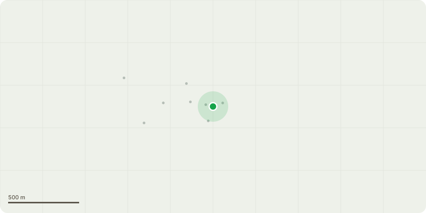
Approximate location
Proposal
1. Remove 2x beech limbs and other various small, low drooping branches to raise canopy on beech tree. 2. Remove cherry tree situated beside garden building - has shown signs of decline over the last year, with only a few branches coming into leaf. 3. Remove hornbeam situated beside garden shed due to worry of it damaging the building - tree to be replaced once removed. 4. Remove dead conifer limb over hanging path. 5. Remove 1x spindly pine limb over hanging garden parth. 6. Remove cluster of conifer and pine trees - total of seven - to be replaced with native species. 7. Remove holly to prevent further damage to stone wall and interference of phone line. 8. Remove 3x cherry trees shadowing surrounding shrubs and green house. 9. Remove ash tree with die back, over hanging highway. 10. Coppice cluster of self seeded willow trees over hanging stone building. All work stated in application are for reasons from highway safety, personal safety, the safety of the surrounding buildings and to open up areas within the property for more light and the re planting of more native trees.
Key dates
- Received 30 Nov 2021
- Started 30 Nov 2021
- Decided 11 Feb 2022
Planning history / related applications
No related planning applications have been identified in the current public OGL dataset.
Inside plotEdge
Go beyond the public record
This page is the public OGL record. plotEdge adds the private intelligence layer for this site - open it in the app to unlock:
- Ownership & title Registered owner and title from HM Land Registry.
- Viability & build potential Site scoring and development upside.
- Constraints Flood risk, green belt, conservation areas and designations.
- Approval signal Planning risk and approval-likelihood analysis.
- Comparable applications Decisions on similar nearby sites, side by side.
- Status alerts Get notified the moment this application changes.
Source: public planning application data from North York Moors National Park, reused under the Open Government Licence v3.0. View the council source record. Council documents and drawings are not republished on plotEdge.