North Warwickshire
North Warwickshire/PAP/2024/0463
54 Minworth Road Water Orton Birmingham B46 1NH
- Reference
- North Warwickshire/PAP/2024/0463
- Authority
- North Warwickshire
- Application type
- Trees in a Conservation Area Works Notification
- Address
- 54 Minworth Road Water Orton Birmingham B46 1NH
- Postcode
- B46 1NH
- Status
- Application Approved
- Decision
- 11 November 2024
- Received
- 14 Oct 2024
- Started
- 14 Oct 2024
- Decided
- 11 Nov 2024
- Source council
- North Warwickshire
- Council source record
- View public record
- Public data licence
- Open Government Licence v3.0
- Record updated
- 18 Jul 2026
- SEO index generated
- 24 Jul 2026
Location
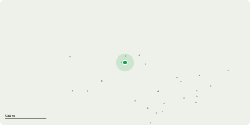
Approximate location
Proposal
Works to trees within a conservation area. The work to be undertaken is on a bay tree of approximately 7 metres in height located in the rear garden of 54 Minworth Road. It is located next to the boundary fence with 56 Minworth Road, and the excessive upwards growth of the tree canopy is blocking light to the patio and rear windows of 56 Minworth Road. It is also creating shadow over the garden of number 54, stunting lawn growth. The work involves reducing the overall height of the tree by approximately 2 metres via removing the top part of the crown. The work will be undertaken in late November 2024 by a tree surgeon (from JC Tree and Grounds Maintenance) who has assessed the tree and the proposals. We also request approval to prune the tree during 2025, 2026 and 2027, should that be necessary to maintain the tree canopy at a suitable height and shape
Key dates
- Received 14 Oct 2024
- Started 14 Oct 2024
- Decided 11 Nov 2024
Planning history / related applications
No related planning applications have been identified in the current public OGL dataset.
Inside plotEdge
Go beyond the public record
This page is the public OGL record. plotEdge adds the private intelligence layer for this site - open it in the app to unlock:
- Ownership & title Registered owner and title from HM Land Registry.
- Viability & build potential Site scoring and development upside.
- Constraints Flood risk, green belt, conservation areas and designations.
- Approval signal Planning risk and approval-likelihood analysis.
- Comparable applications Decisions on similar nearby sites, side by side.
- Status alerts Get notified the moment this application changes.
Source: public planning application data from North Warwickshire, reused under the Open Government Licence v3.0. View the council source record. Council documents and drawings are not republished on plotEdge.