North Warwickshire
North Warwickshire/DOC/2025/0091
Aston Villa Training Ground Bodymoor Heath Lane, Bodymoor Heath Middleton B78 2BB
- Reference
- North Warwickshire/DOC/2025/0091
- Authority
- North Warwickshire
- Application type
- Details Reserved by Condition Application
- Address
- Aston Villa Training Ground Bodymoor Heath Lane, Bodymoor Heath Middleton B78 2BB
- Postcode
- B78 2BB
- Status
- To be determined
- Decision
- To be determined
- Received
- 23 Oct 2025
- Started
- 23 Oct 2025
- Source council
- North Warwickshire
- Council source record
- View public record
- Public data licence
- Open Government Licence v3.0
- Record updated
- 18 Jul 2026
- SEO index generated
- 24 Jul 2026
Location
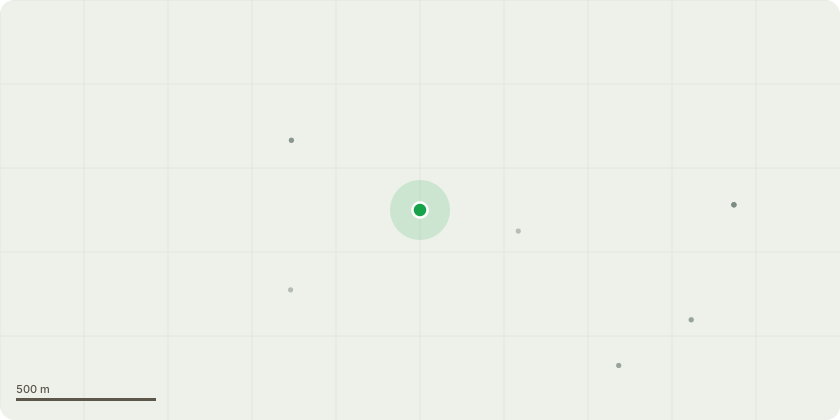
Approximate location
Proposal
Application to part discharge condition 12 (Post remediation verification report for Buildings 3[WSL extension] and 5[Boys Indoor Pitch]) of planning permission PAP/2024/0274 dated 20/9/2024, for Master plan - Building Elite Sports - Facilities Update 1. Relocate Grounds Operations Store 2. Construct Rehab, Recuperation and Recovery Centre 3. Extend Existing Building to Provide Women?s Super League and Girls Academy Centre 4. Repurposed Existing Building to create Media and Administration Support Centre 5. Relocate U16 Boys Internal Pitch Elite Football Development Centre 6. Associated Landscaping 7. Flood Lighting to First Team Pitch
Key dates
- Received 23 Oct 2025
- Started 23 Oct 2025
Planning history / related applications
No related planning applications have been identified in the current public OGL dataset.
Inside plotEdge
Go beyond the public record
This page is the public OGL record. plotEdge adds the private intelligence layer for this site - open it in the app to unlock:
- Ownership & title Registered owner and title from HM Land Registry.
- Viability & build potential Site scoring and development upside.
- Constraints Flood risk, green belt, conservation areas and designations.
- Approval signal Planning risk and approval-likelihood analysis.
- Comparable applications Decisions on similar nearby sites, side by side.
- Status alerts Get notified the moment this application changes.
Source: public planning application data from North Warwickshire, reused under the Open Government Licence v3.0. View the council source record. Council documents and drawings are not republished on plotEdge.