North Tyneside
North Tyneside/25/01133/ECREG5
Land Adjacent To Percy Park Rugby Club Preston Avenue North Shields Tyne And Wear NE30 2BE
- Reference
- North Tyneside/25/01133/ECREG5
- Authority
- North Tyneside
- Application type
- ECREG
- Address
- Land Adjacent To Percy Park Rugby Club Preston Avenue North Shields Tyne And Wear NE30 2BE
- Postcode
- NE30 2BE
- Status
- Unknown
- Decision
- No Objection under Electronic Comm Code
- Received
- 1 Sept 2025
- Validated
- 1 Sept 2025
- Started
- 1 Sept 2025
- Decided
- 29 Sept 2025
- Source council
- North Tyneside
- Council source record
- View public record
- Public data licence
- Open Government Licence v3.0
- Record updated
- 18 Jul 2026
- SEO index generated
- 24 Jul 2026
Location
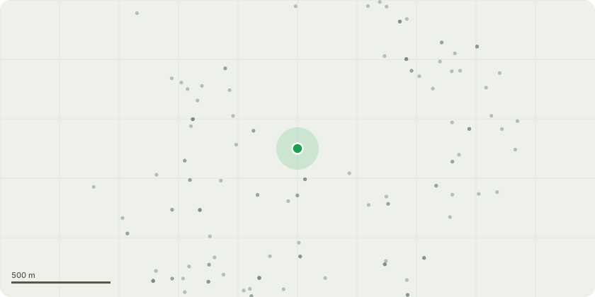
Approximate location
Proposal
The upgrade to the site is required to enhance existing telecommunications technology like 4G coverage and capacity. As well as 5G service provisions to ensure that all customers experience access to the latest tech currently available. The upgrade includes the existing 6 no. antennas and 15 no. ERS units to be removed, with the proposed installation of 6 no. antennas, 15 no. ERS units, and an upgrade to the equipment within the equipment cabin. Ancillary development required thereto. The proposed antennas are to be mounted with a top height of approx. 22.75m. The ERS units are small, each the size of a shoe box. They are designed to make the Antennasmore efficient and reduce the amount of equipment cabinets. Given their height of approx. 19.90m above ground level, they will not be overly prominent. The proposed development has been designed in a way to ensure that the visual impact on the surrounding area has been minimised so far as practicable
Key dates
- Received 1 Sept 2025
- Validated 1 Sept 2025
- Started 1 Sept 2025
- Decided 29 Sept 2025
Planning history / related applications
No related planning applications have been identified in the current public OGL dataset.
Inside plotEdge
Go beyond the public record
This page is the public OGL record. plotEdge adds the private intelligence layer for this site - open it in the app to unlock:
- Ownership & title Registered owner and title from HM Land Registry.
- Viability & build potential Site scoring and development upside.
- Constraints Flood risk, green belt, conservation areas and designations.
- Approval signal Planning risk and approval-likelihood analysis.
- Comparable applications Decisions on similar nearby sites, side by side.
- Status alerts Get notified the moment this application changes.
Source: public planning application data from North Tyneside, reused under the Open Government Licence v3.0. View the council source record. Council documents and drawings are not republished on plotEdge.