North Tyneside
North Tyneside/24/01102/ADJLPA
Vacant Former Hawthorn Leslie Shipyard And Rathbone Communitu Industry Ellison Street Hebburn NE31 1YN
- Reference
- North Tyneside/24/01102/ADJLPA
- Authority
- North Tyneside
- Application type
- ADJLPA
- Address
- Vacant Former Hawthorn Leslie Shipyard And Rathbone Communitu Industry Ellison Street Hebburn NE31 1YN
- Postcode
- NE31 1YN
- Status
- Decided
- Decision
- No Objection adjacent LA consultation
- Received
- 30 Aug 2024
- Validated
- 30 Aug 2024
- Started
- 30 Aug 2024
- Decided
- 11 Sept 2024
- Source council
- North Tyneside
- Council source record
- View public record
- Public data licence
- Open Government Licence v3.0
- Record updated
- 18 Jul 2026
- SEO index generated
- 24 Jul 2026
Location
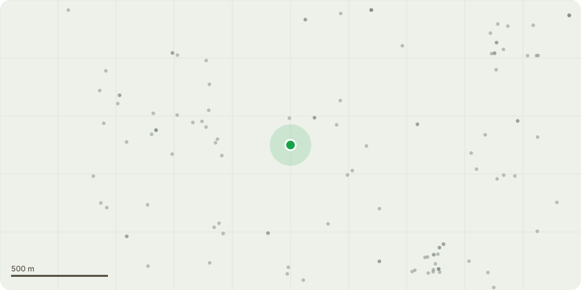
Approximate location
Proposal
Demolition of existing structures and redevelopment to provide 446 new studio, 1, 2, 3, 4 & 5 bedroom homes, flexible community/commercial floorspace (class E / F2) and areas of open space together with the provision of vehicular access from Ellison Street and associated landscaping and parking (Application under Section 73 of the Town & Country Planning Act 1990 to vary conditions 2, 7, 11, 32 and 40 of previously approved planning application ST/0228/21/FUL and condition 30 of ST/0163/24/NMA - amendments to Blocks F1-F3 including location, access and parking; redesign and external alterations to Blocks A and F1-F3 and removal of block G2; additional 2 houses to block A; relocation of stair core to Block G1/H facilitating additional 4 no. apartments; external amendments including balconies /terraces; sub- division of ground floor unit to Block G1 into 2 units; and internal amendments to Block H to retain overall development at 446 units
Key dates
- Received 30 Aug 2024
- Validated 30 Aug 2024
- Started 30 Aug 2024
- Decided 11 Sept 2024
Planning history / related applications
No related planning applications have been identified in the current public OGL dataset.
Inside plotEdge
Go beyond the public record
This page is the public OGL record. plotEdge adds the private intelligence layer for this site - open it in the app to unlock:
- Ownership & title Registered owner and title from HM Land Registry.
- Viability & build potential Site scoring and development upside.
- Constraints Flood risk, green belt, conservation areas and designations.
- Approval signal Planning risk and approval-likelihood analysis.
- Comparable applications Decisions on similar nearby sites, side by side.
- Status alerts Get notified the moment this application changes.
Source: public planning application data from North Tyneside, reused under the Open Government Licence v3.0. View the council source record. Council documents and drawings are not republished on plotEdge.