North Somerset
North Somerset/26/P/1274/TPO
Land Opposite 15 Rodney Road Backwell BS48 3HR
- Reference
- North Somerset/26/P/1274/TPO
- Authority
- North Somerset
- Application type
- Tree preservation order
- Address
- Land Opposite 15 Rodney Road Backwell BS48 3HR
- Postcode
- BS48 3HR
- Status
- Registered
- Received
- 18 Jun 2026
- Started
- 18 Jun 2026
- Source council
- North Somerset
- Council source record
- View public record
- Public data licence
- Open Government Licence v3.0
- Record updated
- 18 Jul 2026
- SEO index generated
- 24 Jul 2026
Location
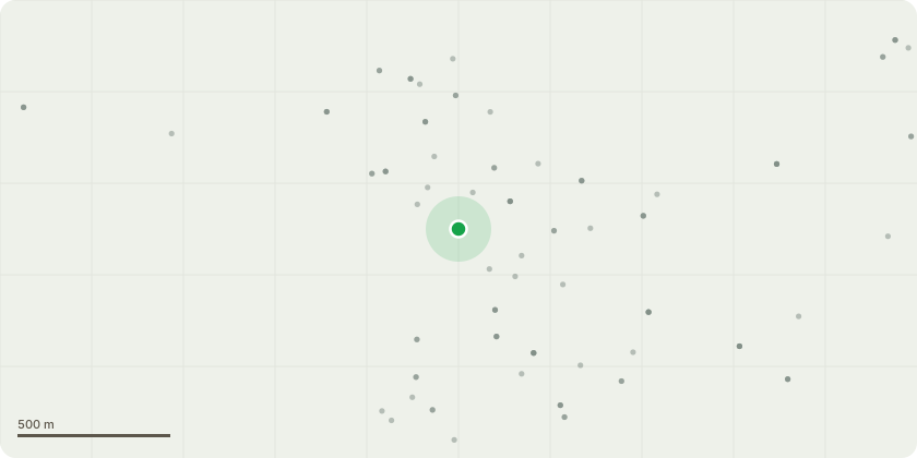
Approximate location
Proposal
T1 - Cherry - Carry out remedial pruning to include: removal of basal epicormic growth, a crown lift of up to 5m over the carriageway and up to 3m over the open space as appropriate (only the minimum will be removed). Crown reduction works of up to 1.5m where branches are over extended following removal of dead wood (which does not require planning consent).Reason - The subject tree is an important and unusual specimen exhibiting both white and pink flowers due to the crown being made up of a combination of both a standard wild cherry (white flowers) and a top worked graft (pink flowers). Sadly the tree is in decline and the aim of the work, coupled with mulching is to mange the die back and create a better form. The hope is that the tree will respond positively and begin to regenerate. The crown lift over the carriageway is required to allow the safe passage of vehicles without damage to the tree and the crown lift over the open space is to balance the resulting asymmetry.
Key dates
- Received 18 Jun 2026
- Started 18 Jun 2026
Planning history / related applications
No related planning applications have been identified in the current public OGL dataset.
Inside plotEdge
Go beyond the public record
This page is the public OGL record. plotEdge adds the private intelligence layer for this site - open it in the app to unlock:
- Ownership & title Registered owner and title from HM Land Registry.
- Viability & build potential Site scoring and development upside.
- Constraints Flood risk, green belt, conservation areas and designations.
- Approval signal Planning risk and approval-likelihood analysis.
- Comparable applications Decisions on similar nearby sites, side by side.
- Status alerts Get notified the moment this application changes.
Source: public planning application data from North Somerset, reused under the Open Government Licence v3.0. View the council source record. Council documents and drawings are not republished on plotEdge.