North Somerset
North Somerset/26/P/1006/TPO
3 Beechwood Drive Portishead BS20 8ES
- Reference
- North Somerset/26/P/1006/TPO
- Authority
- North Somerset
- Application type
- Tree preservation order
- Address
- 3 Beechwood Drive Portishead BS20 8ES
- Postcode
- BS20 8ES
- Status
- Registered
- Received
- 19 May 2026
- Started
- 19 May 2026
- Source council
- North Somerset
- Council source record
- View public record
- Public data licence
- Open Government Licence v3.0
- Record updated
- 18 Jul 2026
- SEO index generated
- 24 Jul 2026
Location
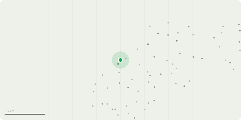
Approximate location
Proposal
Beech (T1) Fell. Reason It is considered that the tree is in terminal decline. The presence of Ganoderma austrael fruiting bodies around the basal area of the tree and lower stem indicate decay within these area which could potentially compromise the structural integrity of the tree leaving it susceptible to wind throw or stem fracture. Decay cavities at 4m up the stem have further compromised the structural integrity of the tree. The extensive dieback and dead branches within the upper and western canopy would indicate issues with the normal physiological functions of the tree potential resulting from the fungal infection around the base. The dwelling to the south and public footpath to the east are within falling distance were the tree to suffer wind throw or stem fracture. It is therefore considered that the tree poses a significant health and safety risk to the residents, their property and the general public using the footpath. See Arboricultural report attached.
Key dates
- Received 19 May 2026
- Started 19 May 2026
Planning history / related applications
No related planning applications have been identified in the current public OGL dataset.
Inside plotEdge
Go beyond the public record
This page is the public OGL record. plotEdge adds the private intelligence layer for this site - open it in the app to unlock:
- Ownership & title Registered owner and title from HM Land Registry.
- Viability & build potential Site scoring and development upside.
- Constraints Flood risk, green belt, conservation areas and designations.
- Approval signal Planning risk and approval-likelihood analysis.
- Comparable applications Decisions on similar nearby sites, side by side.
- Status alerts Get notified the moment this application changes.
Source: public planning application data from North Somerset, reused under the Open Government Licence v3.0. View the council source record. Council documents and drawings are not republished on plotEdge.