North Somerset
North Somerset/26/P/0915/TPO
Little Harp Inn Elton Road Clevedon BS21 7RH
- Reference
- North Somerset/26/P/0915/TPO
- Authority
- North Somerset
- Application type
- Tree preservation order
- Address
- Little Harp Inn Elton Road Clevedon BS21 7RH
- Postcode
- BS21 7RH
- Status
- Registered
- Received
- 19 May 2026
- Started
- 19 May 2026
- Source council
- North Somerset
- Council source record
- View public record
- Public data licence
- Open Government Licence v3.0
- Record updated
- 18 Jul 2026
- SEO index generated
- 24 Jul 2026
Location
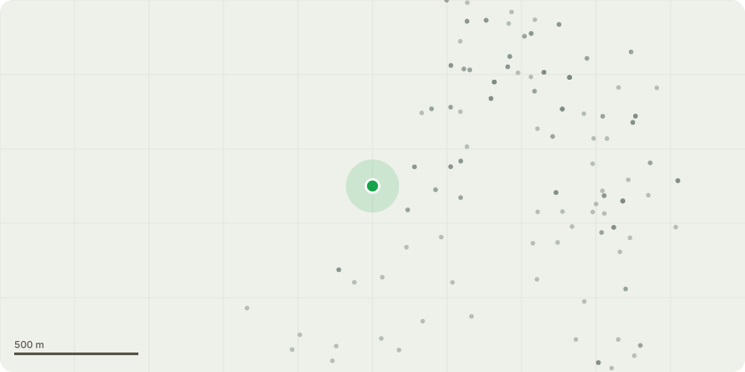
Approximate location
Proposal
G001 - Group of Holm Oak (Quercus ilex) Prune primary and secondary branches overhanging the public house seating area back by 1-2m to appropriate points on the main stem or suitable secondary and sub-lateral branches, to reduce encroachment into the seating area and improve clearance for patrons. Selectively prune or remove branches that are contacting, or at risk of interfering with, the telephone cable running the length of the tree, to establish and maintain adequate clearance. Crown raise over the parking area and sheds to achieve approximately 4 m clearance above ground level by removing or shortening appropriate lower primary and secondary branches, and prune back any sub-lateral branches touching the sheds as necessary to prevent direct contact. No cuts shall exceed 50mm in diameter. Remove all arisings from site, leaving the area clean and tidy.All works to be carried out in accordance with BS3998:2010. Tree Work - Recommendations, using good arboricultural practice to minimise wounding and maintain a balanced crown form.
Key dates
- Received 19 May 2026
- Started 19 May 2026
Planning history / related applications
No related planning applications have been identified in the current public OGL dataset.
Inside plotEdge
Go beyond the public record
This page is the public OGL record. plotEdge adds the private intelligence layer for this site - open it in the app to unlock:
- Ownership & title Registered owner and title from HM Land Registry.
- Viability & build potential Site scoring and development upside.
- Constraints Flood risk, green belt, conservation areas and designations.
- Approval signal Planning risk and approval-likelihood analysis.
- Comparable applications Decisions on similar nearby sites, side by side.
- Status alerts Get notified the moment this application changes.
Source: public planning application data from North Somerset, reused under the Open Government Licence v3.0. View the council source record. Council documents and drawings are not republished on plotEdge.