North Somerset
North Somerset/26/P/0716/TPO
132 Hillside Road Portishead BS20 8LG
- Reference
- North Somerset/26/P/0716/TPO
- Authority
- North Somerset
- Application type
- Tree preservation order
- Address
- 132 Hillside Road Portishead BS20 8LG
- Postcode
- BS20 8LG
- Status
- Unknown
- Decision
- Split decision
- Received
- 31 Mar 2026
- Validated
- 8 Apr 2026
- Started
- 8 Apr 2026
- Decided
- 2 Jun 2026
- Source council
- North Somerset
- Council source record
- View public record
- Public data licence
- Open Government Licence v3.0
- Record updated
- 18 Jul 2026
- SEO index generated
- 24 Jul 2026
Location
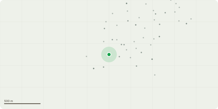
Approximate location
Proposal
T1-5 Sycamore Reduce 5 trees by approximately 2 metres all over back to previous pruning points. Approval was last granted in 2022. We would like to gain approval for maintenance schedule of 3-5 year periods.The trees are becoming dominant with in the garden with dense foliage during the summer months affecting the custodians enjoyment of their garden. The trees are also subject to significant Squirrel damage resulting in numerous failures within the canopy over the years and recently a larger limb that fell into the garden and road. We propose that an end weight reduction will alleviate loading on the damaged branching and reduce the need for complete removal damaged branching adversely altering the structure of the canopy. These trees were last pruned in 2010 therefore have not been pruned in 12 years. we propose that a moderate reduction at this point would keep pruning wound to a minimal diameter and prevent any need for more severe pruning in future.Please note that the trees comprise of multiple stems with poorly formed low level unions.
Key dates
- Received 31 Mar 2026
- Validated 8 Apr 2026
- Started 8 Apr 2026
- Decided 2 Jun 2026
Planning history / related applications
No related planning applications have been identified in the current public OGL dataset.
Inside plotEdge
Go beyond the public record
This page is the public OGL record. plotEdge adds the private intelligence layer for this site - open it in the app to unlock:
- Ownership & title Registered owner and title from HM Land Registry.
- Viability & build potential Site scoring and development upside.
- Constraints Flood risk, green belt, conservation areas and designations.
- Approval signal Planning risk and approval-likelihood analysis.
- Comparable applications Decisions on similar nearby sites, side by side.
- Status alerts Get notified the moment this application changes.
Source: public planning application data from North Somerset, reused under the Open Government Licence v3.0. View the council source record. Council documents and drawings are not republished on plotEdge.