North Somerset
North Somerset/26/P/0518/TPO
35 Sally Hill Portishead BS20 7BH
- Reference
- North Somerset/26/P/0518/TPO
- Authority
- North Somerset
- Application type
- Tree preservation order
- Address
- 35 Sally Hill Portishead BS20 7BH
- Postcode
- BS20 7BH
- Status
- Unknown
- Decision
- Split decision
- Received
- 9 Mar 2026
- Validated
- 7 Apr 2026
- Started
- 7 Apr 2026
- Decided
- 12 Jun 2026
- Source council
- North Somerset
- Council source record
- View public record
- Public data licence
- Open Government Licence v3.0
- Record updated
- 18 Jul 2026
- SEO index generated
- 24 Jul 2026
Location
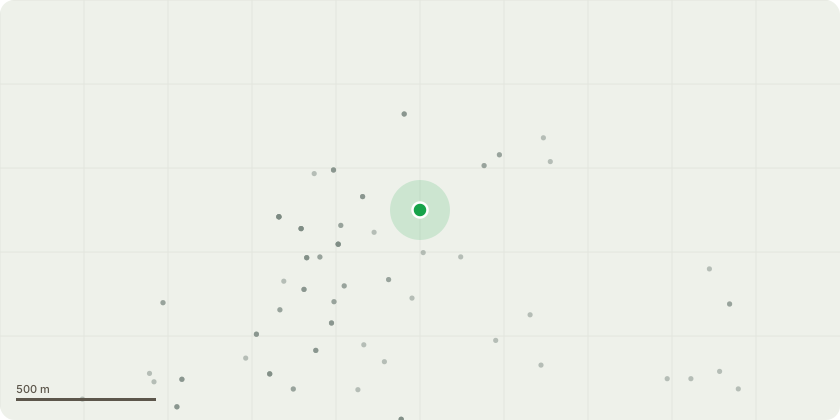
Approximate location
Proposal
T1, Large mature lime Tag no 5338. Tree has a lot of deadwood material in the crown and regularly sheds small limbs especially during high winds. It's lower branches are encroaching a street light on leigh view road and putting excessive weight on a phone cable.Like most lime trees it is heavily infested with aphids in the summer months which causes the garden beneath to be coated in sticky sap. Mrs Breen has accepted this beneath the tree but over the last few years a number of limbs have grown out and now overhang part of the lower garden, with a patio and eating area. To resolve all of the above issues I would like to apply for the following works to the treeCrown lift to approximately 30ft (including prunning back limbs from both the phone cable and the street lamp.?Crown thin of 15% removing all epicormic from main trunk and taking out all major deadwood.?light crown side pruning to bring 6 to 8 extended limbs back into the main canopy shape (reducing each limb by 8 to 12ft respectively, to the nearest live point).
Key dates
- Received 9 Mar 2026
- Validated 7 Apr 2026
- Started 7 Apr 2026
- Decided 12 Jun 2026
Planning history / related applications
No related planning applications have been identified in the current public OGL dataset.
Inside plotEdge
Go beyond the public record
This page is the public OGL record. plotEdge adds the private intelligence layer for this site - open it in the app to unlock:
- Ownership & title Registered owner and title from HM Land Registry.
- Viability & build potential Site scoring and development upside.
- Constraints Flood risk, green belt, conservation areas and designations.
- Approval signal Planning risk and approval-likelihood analysis.
- Comparable applications Decisions on similar nearby sites, side by side.
- Status alerts Get notified the moment this application changes.
Source: public planning application data from North Somerset, reused under the Open Government Licence v3.0. View the council source record. Council documents and drawings are not republished on plotEdge.