North Somerset
North Somerset/26/P/0156/TRCA
5 Alexandra Road Clevedon BS21 7QE
- Reference
- North Somerset/26/P/0156/TRCA
- Authority
- North Somerset
- Application type
- TRCA
- Address
- 5 Alexandra Road Clevedon BS21 7QE
- Postcode
- BS21 7QE
- Status
- Decided
- Decision
- Objection (TPO made)
- Received
- 26 Jan 2026
- Validated
- 27 Jan 2026
- Started
- 27 Jan 2026
- Decided
- 23 Mar 2026
- Source council
- North Somerset
- Council source record
- View public record
- Public data licence
- Open Government Licence v3.0
- Record updated
- 18 Jul 2026
- SEO index generated
- 24 Jul 2026
Location
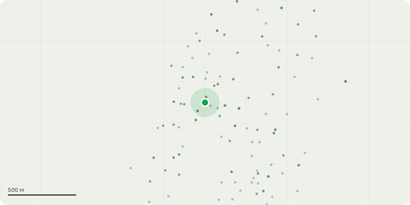
Approximate location
Proposal
T1: Fell Holm OakThere is a large historic wound at the base of the tree on the road-facing side, with clear signs of advanced decay. From within the property boundary, there is a substantial cavity at the base of the stem, large enough to insert a hand, indicating significant internal decay and loss of structural integrity.Further decay is evident within the first main fork, associated with an old wound. Water is present and visibly seeping from this area, suggesting ongoing internal decay and compromised wood strength. The location of this defect at the primary union significantly increases the likelihood of structural failure.Due to the extent and position of the decay, the tree is considered at risk of failure at the first main fork and/or basal stem.Hazards / Targets:The tree is adjacent to a public footpath and road, with frequent pedestrian use and regularly parked vehicles beneath the canopy. The tree also overhangs the highway and the nearby property. Failure of the tree, or part thereof, would pose a significant risk to public safety, vehicles, and property.
Key dates
- Received 26 Jan 2026
- Validated 27 Jan 2026
- Started 27 Jan 2026
- Decided 23 Mar 2026
Planning history / related applications
No related planning applications have been identified in the current public OGL dataset.
Inside plotEdge
Go beyond the public record
This page is the public OGL record. plotEdge adds the private intelligence layer for this site - open it in the app to unlock:
- Ownership & title Registered owner and title from HM Land Registry.
- Viability & build potential Site scoring and development upside.
- Constraints Flood risk, green belt, conservation areas and designations.
- Approval signal Planning risk and approval-likelihood analysis.
- Comparable applications Decisions on similar nearby sites, side by side.
- Status alerts Get notified the moment this application changes.
Source: public planning application data from North Somerset, reused under the Open Government Licence v3.0. View the council source record. Council documents and drawings are not republished on plotEdge.