North Somerset
North Somerset/25/P/1636/TRCA
Eddington Court 30 Beach Road Weston-super-Mare BS23 1DH
- Reference
- North Somerset/25/P/1636/TRCA
- Authority
- North Somerset
- Application type
- TRCA
- Address
- Eddington Court 30 Beach Road Weston-super-Mare BS23 1DH
- Postcode
- BS23 1DH
- Status
- Decided
- Decision
- No objection (tree/hed) unconditional
- Received
- 11 Aug 2025
- Validated
- 11 Sept 2025
- Started
- 11 Sept 2025
- Decided
- 17 Oct 2025
- Source council
- North Somerset
- Council source record
- View public record
- Public data licence
- Open Government Licence v3.0
- Record updated
- 18 Jul 2026
- SEO index generated
- 24 Jul 2026
Location
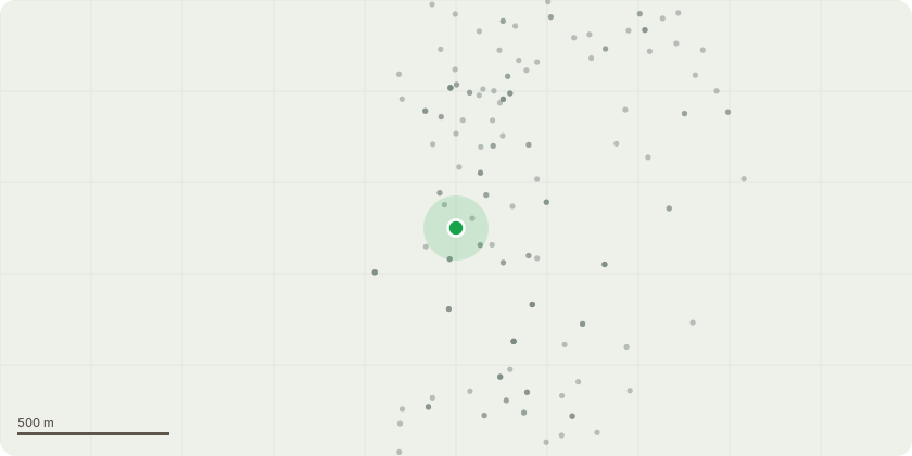
Approximate location
Proposal
T001 Holm Oak - crown lift to 3 metres over pavement. Also crown lift to 5 metres over access road. G003 Corsican Pine - remove dead wood greater than 25 mm and crown lift to 3 metres over shrubs. T005 Grey Poplar - reduce to height of car park. T006 Holm Oak - crown lift to 3 metres over shrubs. T007 Holm Oak - prune branches overhanging pathway back by 3 metres. T009 Monterey Cypress - remove hung up and failed branches. T010 Grey Poplar - crown lift to 3 metres. T011 Sycamore - crown lift to create 1 metre clearance over bike store. T013 Wild Cherry - crown lift to 3 metres over path. T017 Holm Oak - prune branches over pathway back to previous points. T018 Turkey Oak - crown lift to 3 metres over pathway and shrubs. T021 Common Holly - prune 2 metres back from pathway to a height of 3 metres. T022 Grey Poplar - crown lift to 2 metres over garden structure. T023 Holm Oak - prune 1 metre clearance of boundary wall. G024 Common Hawthorn - prune 1 metre clearance of boundary wall. T025 London Plane - crown lift to 5 metres and crown thin by 10%. G026 Common Holly - crown lift to 3 metres. T027 Bay Tree - fell tree to open garden and allow more light. T028 Common Holly - crown lift to 3 metres. T029 Holm Oak - crown lift to 3 metres. T032 Common Laburnum - remove 2 dead stems.T034 Common Holly - crown lift to 3 metres.
Key dates
- Received 11 Aug 2025
- Validated 11 Sept 2025
- Started 11 Sept 2025
- Decided 17 Oct 2025
Planning history / related applications
No related planning applications have been identified in the current public OGL dataset.
Inside plotEdge
Go beyond the public record
This page is the public OGL record. plotEdge adds the private intelligence layer for this site - open it in the app to unlock:
- Ownership & title Registered owner and title from HM Land Registry.
- Viability & build potential Site scoring and development upside.
- Constraints Flood risk, green belt, conservation areas and designations.
- Approval signal Planning risk and approval-likelihood analysis.
- Comparable applications Decisions on similar nearby sites, side by side.
- Status alerts Get notified the moment this application changes.
Source: public planning application data from North Somerset, reused under the Open Government Licence v3.0. View the council source record. Council documents and drawings are not republished on plotEdge.