North Somerset
North Somerset/25/P/1185/TPO
Backwell Scout And Guide Hut Rodney Road Backwell BS48 3HR
- Reference
- North Somerset/25/P/1185/TPO
- Authority
- North Somerset
- Application type
- Tree preservation order
- Address
- Backwell Scout And Guide Hut Rodney Road Backwell BS48 3HR
- Postcode
- BS48 3HR
- Status
- Decided
- Decision
- Approve
- Received
- 11 Jun 2025
- Validated
- 16 Jul 2025
- Started
- 16 Jul 2025
- Decided
- 29 Sept 2025
- Source council
- North Somerset
- Council source record
- View public record
- Public data licence
- Open Government Licence v3.0
- Record updated
- 18 Jul 2026
- SEO index generated
- 24 Jul 2026
Location
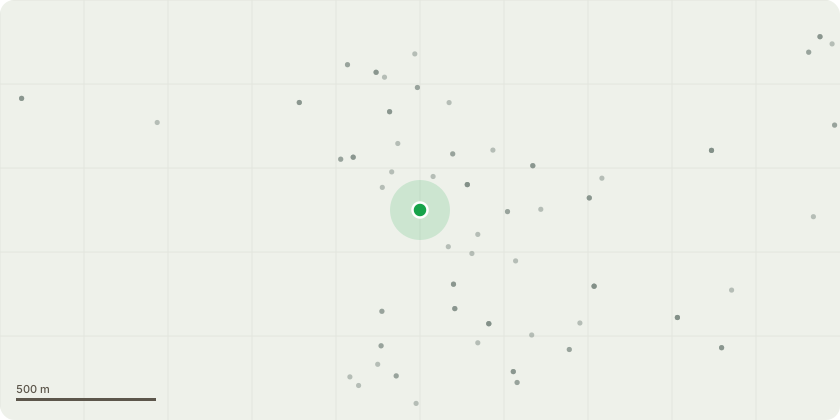
Approximate location
Proposal
1. Tree branches in hedgeline to be cut back to the boundary line, where they overhang buildings/structures located on Backwell Playing Fields. 2. Request for ad-hoc trimming of branches that hang over 1st Backwell scouts. 1st Backwell Scouts - there is risk of damage to the building roof if a branch were to fail, and currently the proximity is allowing access by squirrels to the roofing structure and interior of the building. Rainbow Preschool - there is high risk of damage to the perspex roofing over external decking at Rainbow Preschool if a branch were to fail plus leaf mulch blocks light and weakens the perspex. Partial crown reduction as required to maintain tree balance. Backwell Athletic Junior Football Club - light trimming at boundary for maintenance purposes. 2. Occasional ad hoc trimming of branches where they overhang 1st Backwell Scout site (used for year-round activities with young people) for reasons of public safety.
Key dates
- Received 11 Jun 2025
- Validated 16 Jul 2025
- Started 16 Jul 2025
- Decided 29 Sept 2025
Planning history / related applications
No related planning applications have been identified in the current public OGL dataset.
Inside plotEdge
Go beyond the public record
This page is the public OGL record. plotEdge adds the private intelligence layer for this site - open it in the app to unlock:
- Ownership & title Registered owner and title from HM Land Registry.
- Viability & build potential Site scoring and development upside.
- Constraints Flood risk, green belt, conservation areas and designations.
- Approval signal Planning risk and approval-likelihood analysis.
- Comparable applications Decisions on similar nearby sites, side by side.
- Status alerts Get notified the moment this application changes.
Source: public planning application data from North Somerset, reused under the Open Government Licence v3.0. View the council source record. Council documents and drawings are not republished on plotEdge.