North Northamptonshire
North Northamptonshire/26/01248/NMA
Adrenaline Alley Arnsley Road Corby NN17 5JG
- Reference
- North Northamptonshire/26/01248/NMA
- Authority
- North Northamptonshire
- Application type
- Non-material amendment
- Address
- Adrenaline Alley Arnsley Road Corby NN17 5JG
- Postcode
- NN17 5JG
- Status
- In progress
- Received
- 26 May 2026
- Started
- 26 May 2026
- Source council
- North Northamptonshire
- Council source record
- View public record
- Public data licence
- Open Government Licence v3.0
- Record updated
- 18 Jul 2026
- SEO index generated
- 24 Jul 2026
Location
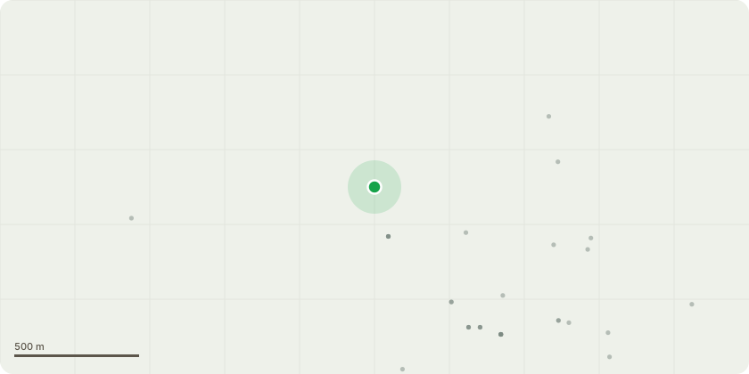
Approximate location
Proposal
Non material amendment to allow for amendment of site and proposed building layout and proposed materials (elevations), replacement of timber deck structure with a steel structure, addition of liners to windows and external entrance doors, addition of external roller blind shading, amendment of battery storage layout and elevations, omission of planters to rear elevations, omission of 4no. trees in the courtyard zone, omission of seating benches, omission of vending machines, amendment of site boundary treatment, addition of 2no trees to the existing grassed area by the site entrance, omission of wall mounted bike storage on the building's facade, omission of green roof, replaced by a single ply finish, amendment of PV configuration, amendment of external ground finishes, omission of 19no. lockable bike stores, amendment of stairs layout, omission of signage on short elevation, reduction of deck access width, addition of painted door numbers on door's external faces pursuant to NC/24/00221/DPA - (Erection of a four-storey building, comprising 24 units of (C1) short stay accommodation for existing indoor skate park, for visiting riders and their families and friends)
Key dates
- Received 26 May 2026
- Started 26 May 2026
Planning history / related applications
No related planning applications have been identified in the current public OGL dataset.
Inside plotEdge
Go beyond the public record
This page is the public OGL record. plotEdge adds the private intelligence layer for this site - open it in the app to unlock:
- Ownership & title Registered owner and title from HM Land Registry.
- Viability & build potential Site scoring and development upside.
- Constraints Flood risk, green belt, conservation areas and designations.
- Approval signal Planning risk and approval-likelihood analysis.
- Comparable applications Decisions on similar nearby sites, side by side.
- Status alerts Get notified the moment this application changes.
Source: public planning application data from North Northamptonshire, reused under the Open Government Licence v3.0. View the council source record. Council documents and drawings are not republished on plotEdge.