North Northamptonshire
North Northamptonshire/26/00810/TCA
39 East Carlton Park East Carlton LE16 8YD
- Reference
- North Northamptonshire/26/00810/TCA
- Authority
- North Northamptonshire
- Application type
- Trees in conservation area
- Address
- 39 East Carlton Park East Carlton LE16 8YD
- Postcode
- LE16 8YD
- Status
- Decided
- Decision
- Deemed
- Received
- 26 Mar 2026
- Validated
- 26 Mar 2026
- Started
- 26 Mar 2026
- Decided
- 19 May 2026
- Source council
- North Northamptonshire
- Council source record
- View public record
- Public data licence
- Open Government Licence v3.0
- Record updated
- 18 Jul 2026
- SEO index generated
- 24 Jul 2026
Location
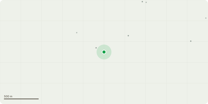
Approximate location
Proposal
T1; beech, fell Felling of Mature and Diseased Beech Tree (Fagus sylvatica) in Rear GardenWe seek consent to remove a mature beech tree, estimated over 20m in height, located within the rear garden of the propertyThis application follows a recent inspection following our concerns over the recent years of the ever spreading disease evident across the entire of the trunk (see attached image)The affected area is in line with a busy main road (A427) and could collapse at any time presenting a very serious risk of injury or fatality to the publicPreliminary visual inspection indicates the tree has structural weaknesses, as well as limbs showing signs of deteriorationGiven the size of the tree and it?s proximity to the main road, pedestrian walkways and paths as well as regularly occupied garden space, removal is considered the only viable option to negate the risk it posesSupporting evidence, location sketch map, photographs of the disease and location to main road are attached. We are willing to discuss appropriate replacement planting within the boundary to maintain the amenity value of the site
Key dates
- Received 26 Mar 2026
- Validated 26 Mar 2026
- Started 26 Mar 2026
- Decided 19 May 2026
Planning history / related applications
No related planning applications have been identified in the current public OGL dataset.
Inside plotEdge
Go beyond the public record
This page is the public OGL record. plotEdge adds the private intelligence layer for this site - open it in the app to unlock:
- Ownership & title Registered owner and title from HM Land Registry.
- Viability & build potential Site scoring and development upside.
- Constraints Flood risk, green belt, conservation areas and designations.
- Approval signal Planning risk and approval-likelihood analysis.
- Comparable applications Decisions on similar nearby sites, side by side.
- Status alerts Get notified the moment this application changes.
Source: public planning application data from North Northamptonshire, reused under the Open Government Licence v3.0. View the council source record. Council documents and drawings are not republished on plotEdge.