North Northamptonshire
North Northamptonshire/26/00777/AOC
Darsdale Farm Site Chelveston Road Raunds NN9 6DA
- Reference
- North Northamptonshire/26/00777/AOC
- Authority
- North Northamptonshire
- Application type
- AOC
- Address
- Darsdale Farm Site Chelveston Road Raunds NN9 6DA
- Postcode
- NN9 6DA
- Status
- In progress
- Received
- 24 Mar 2026
- Started
- 24 Mar 2026
- Source council
- North Northamptonshire
- Council source record
- View public record
- Public data licence
- Open Government Licence v3.0
- Record updated
- 18 Jul 2026
- SEO index generated
- 24 Jul 2026
Location
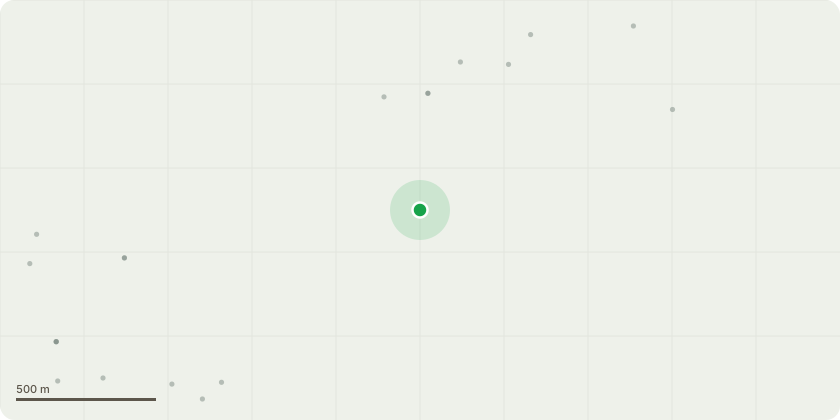
Approximate location
Proposal
Discharge of conditions pursuant to 18/00656/VAR. Variation of condition 1 (approved plans) to allow variation of house types and layout amendments pursuant to planning application 17/01680/VAR pursuant to application 16/00864/VAR variation of 07/02238/OUT and 13/01604/REM Residential development for up to 460 dwellings dated 07.03.2018 (Part Retrospective).Condition 6 - Demolition.Condition 8 - Phasing Plan.Condition 10 - Development Phasing Plan.Condition 11 - Quality Audit.Condition 12 - Design Code.Condition 13 - Sustainable Homes Code.Condition 15 - Landscape Strategy.Condition 16 - Habitat Survey.Condition 17 - Ecological Management.Condition 20 - Hard and soft landscaping.Condition 21 - Sustainability Report.Condition 22 - Low Zero Carbon.Condition 23 - Travel Plan.Condition 24 - Secure Parking.Condition 31 - Boundaries.Condition 32 - Bats.Condition 33 - Floor Levels.Condition 34 - Refuse Storage.Condition 35 - Access Connections.Condition 36 - Community Safety.Condition 43 - Rights of Way.Condition 44 - Arboricultural Method StatementCondition 46 - Fire Hydrants.Condition 47 - Wheel Washing.Condition 48 - Construction Management Plan (CMP)Condition 49 - Lighting.Condition 50 - Play Area Maintenance.Condition 51 - Open Space Maintenance.
Key dates
- Received 24 Mar 2026
- Started 24 Mar 2026
Planning history / related applications
No related planning applications have been identified in the current public OGL dataset.
Inside plotEdge
Go beyond the public record
This page is the public OGL record. plotEdge adds the private intelligence layer for this site - open it in the app to unlock:
- Ownership & title Registered owner and title from HM Land Registry.
- Viability & build potential Site scoring and development upside.
- Constraints Flood risk, green belt, conservation areas and designations.
- Approval signal Planning risk and approval-likelihood analysis.
- Comparable applications Decisions on similar nearby sites, side by side.
- Status alerts Get notified the moment this application changes.
Source: public planning application data from North Northamptonshire, reused under the Open Government Licence v3.0. View the council source record. Council documents and drawings are not republished on plotEdge.