North Norfolk
North Norfolk/TW/26/1062
28 Pineheath Road High Kelling Holt Norfolk NR25 6QF
- Reference
- North Norfolk/TW/26/1062
- Authority
- North Norfolk
- Address
- 28 Pineheath Road High Kelling Holt Norfolk NR25 6QF
- Postcode
- NR25 6QF
- Status
- Pending Consideration
- Received
- 19 May 2026
- Started
- 19 May 2026
- Source council
- North Norfolk
- Council source record
- View public record
- Public data licence
- Open Government Licence v3.0
- Record updated
- 18 Jul 2026
- SEO index generated
- 24 Jul 2026
Location
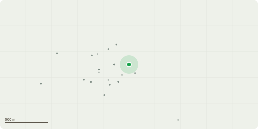
Approximate location
Proposal
T1 Rhododendron - Remove. Large shrub which is located in the way of a proposed garden buildingT2 Walnut - Small multi stem walnut - Removed to make way for proposed garden building.T3 Cupressus species - Removed to make way for garden building. T4 Larch - Remove. This is adjacent to a large Cupressus species tree. We would like to remove so it does not interfere further with the Cupressus. The Larch also has a lean caused by the Cupressus.T5 Cupressus species situated by the main entrance to the property. Remove to open the drive access out and to remove it from interfering with the more valuable adjacent Beech treeT6, T7 & T8 - Larch trees - Remove to free up the adjacent Beed trees.T9,T10,T11,T12,T13 & T14 - Cupressus species trees. These are to be removed to open up the garden to provide more light for a wider variety of plants and importantly free up the adjacent Pine trees.S1-S7 Shrubs - These are to be removed to open up the garden and offer more light and space for new wildlife friendly planting.There is an accompanying garden design and we plant to introduce new trees such as Amelanchier, Birch and Cheery along with shrubs such as Guelder Rose, Hazel, together with new planting of Rhododendrons to augment the existing to be retained.
Key dates
- Received 19 May 2026
- Started 19 May 2026
Planning history / related applications
No related planning applications have been identified in the current public OGL dataset.
Inside plotEdge
Go beyond the public record
This page is the public OGL record. plotEdge adds the private intelligence layer for this site - open it in the app to unlock:
- Ownership & title Registered owner and title from HM Land Registry.
- Viability & build potential Site scoring and development upside.
- Constraints Flood risk, green belt, conservation areas and designations.
- Approval signal Planning risk and approval-likelihood analysis.
- Comparable applications Decisions on similar nearby sites, side by side.
- Status alerts Get notified the moment this application changes.
Source: public planning application data from North Norfolk, reused under the Open Government Licence v3.0. View the council source record. Council documents and drawings are not republished on plotEdge.