North Norfolk
North Norfolk/TW/26/0400
33 Chapel Yard Lodge Hill Upper Sheringham Sheringham Norfolk NR26 8TJ
- Reference
- North Norfolk/TW/26/0400
- Authority
- North Norfolk
- Address
- 33 Chapel Yard Lodge Hill Upper Sheringham Sheringham Norfolk NR26 8TJ
- Postcode
- NR26 8TJ
- Status
- Decided
- Decision
- Split Decision
- Received
- 18 Feb 2026
- Validated
- 18 Feb 2026
- Started
- 18 Feb 2026
- Decided
- 27 Mar 2026
- Source council
- North Norfolk
- Council source record
- View public record
- Public data licence
- Open Government Licence v3.0
- Record updated
- 18 Jul 2026
- SEO index generated
- 24 Jul 2026
Location
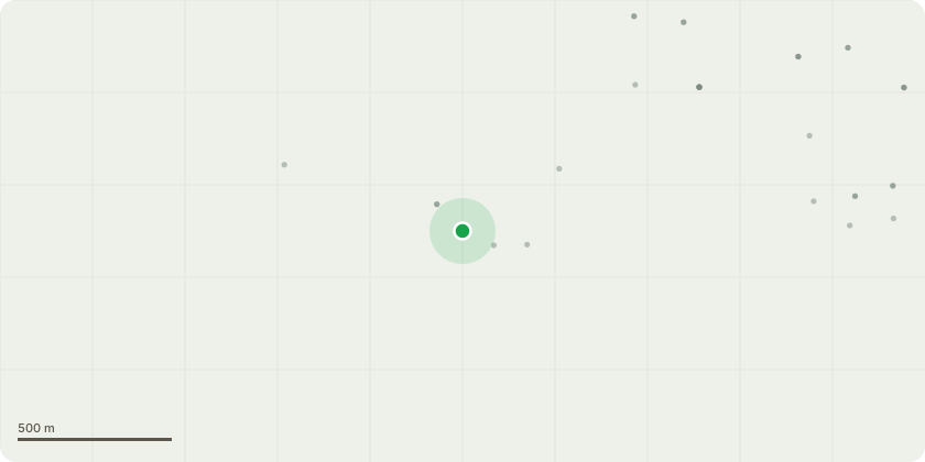
Approximate location
Proposal
Fell trees as below on land at Lodge Hill:T1 Sycamore - Tree is prominent and in good condition. It is damaging adjacent flint wallT2 Lime - Spires of dead wood in upper crown. It is damaging adjacent flint wallT3 Sycamore - Dead wood over road. Ivy on stem. It is damaging adjacent flint wallT4 Lime - Multiple large diameter epicormics. It is damaging adjacent flint wallG1 Norway Spruce - Insubstantial group of three treesT5 SycamoreT6 Goat Willow - Multi stem self set bushy treeT7 Sycamore - Damaging brickwork of former glasshouse. Dense ivy and heavily congested main unions.T9 Sycamore T10 Sycamore T11 SycamoreT12 Sycamore - Growing within 0.5m of the boundary wall. Ivy on stem growing densely onto crown.G2 Sycamore - 7 Coppice stools with swept stems leaning. Some decay present from initial cut points.
Key dates
- Received 18 Feb 2026
- Validated 18 Feb 2026
- Started 18 Feb 2026
- Decided 27 Mar 2026
Planning history / related applications
No related planning applications have been identified in the current public OGL dataset.
Inside plotEdge
Go beyond the public record
This page is the public OGL record. plotEdge adds the private intelligence layer for this site - open it in the app to unlock:
- Ownership & title Registered owner and title from HM Land Registry.
- Viability & build potential Site scoring and development upside.
- Constraints Flood risk, green belt, conservation areas and designations.
- Approval signal Planning risk and approval-likelihood analysis.
- Comparable applications Decisions on similar nearby sites, side by side.
- Status alerts Get notified the moment this application changes.
Source: public planning application data from North Norfolk, reused under the Open Government Licence v3.0. View the council source record. Council documents and drawings are not republished on plotEdge.