North Norfolk
North Norfolk/NMA/25/1139
Land Off Beresford Road Holt Norfolk NR25 6EW
- Reference
- North Norfolk/NMA/25/1139
- Authority
- North Norfolk
- Address
- Land Off Beresford Road Holt Norfolk NR25 6EW
- Postcode
- NR25 6EW
- Status
- Decided
- Decision
- Approve
- Received
- 20 May 2025
- Validated
- 30 May 2025
- Started
- 30 May 2025
- Decided
- 27 Jun 2025
- Source council
- North Norfolk
- Council source record
- View public record
- Public data licence
- Open Government Licence v3.0
- Record updated
- 18 Jul 2026
- SEO index generated
- 24 Jul 2026
Location
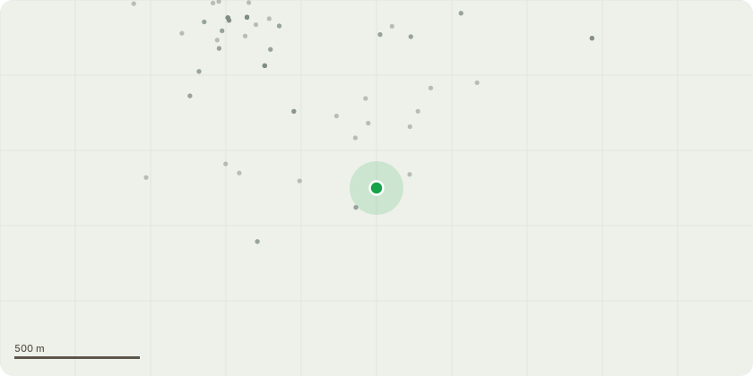
Approximate location
Proposal
Non-material amendment of reserved matters approval PM/22/2985 (Submission of Reserved Matters pursuant to Condition 1 of planning permission PO/18/1857 (PINS ref. APP/Y2620/W/20/3248468) for residential development of 108 units and submission of details relating to appearance, landscape, layout and scale and details relating to Archaeology (Condition 5) Materials Management Plan-Minerals (Condition 6), Layout Plan showing 3 pedestrian access points into Holt Country Park drg. ref. 5664-L-02-K (Condition 7), Layout Plan drop off and pickup parking to new PS (Condition 8), and Layout Plan showing landscape buffer drg. ref. 5664-L-07-A (Condition 9), Landscape Environmental Management Plan (LEMP) (Condition 11), Ecological Design Strategy (EDS) (Condition 12), Arboricultural Method Statement and Tree Works Plan(Condition 13), Land Contamination Investigation Report (Condition 14), Electric Vehicle Parking (EVP) (Condition 15), Water Efficiency Strategy (Condition 16), Fibre Broadband Strategy (Condition 17), Interim Travel Plan (Condition 21), Construction Environmental Management Plan (CEMP- Biodiversity) (Condition 22) and Refuse and Recycling (Condition 25) to allow for amendments to general site layout, material layout and house type adjustments
Key dates
- Received 20 May 2025
- Validated 30 May 2025
- Started 30 May 2025
- Decided 27 Jun 2025
Planning history / related applications
No related planning applications have been identified in the current public OGL dataset.
Inside plotEdge
Go beyond the public record
This page is the public OGL record. plotEdge adds the private intelligence layer for this site - open it in the app to unlock:
- Ownership & title Registered owner and title from HM Land Registry.
- Viability & build potential Site scoring and development upside.
- Constraints Flood risk, green belt, conservation areas and designations.
- Approval signal Planning risk and approval-likelihood analysis.
- Comparable applications Decisions on similar nearby sites, side by side.
- Status alerts Get notified the moment this application changes.
Source: public planning application data from North Norfolk, reused under the Open Government Licence v3.0. View the council source record. Council documents and drawings are not republished on plotEdge.