North Norfolk
North Norfolk/CD/26/1014
Holt Hall Kelling Road Holt Norfolk NR25 7DU
- Reference
- North Norfolk/CD/26/1014
- Authority
- North Norfolk
- Address
- Holt Hall Kelling Road Holt Norfolk NR25 7DU
- Postcode
- NR25 7DU
- Status
- Decided
- Decision
- Condition Discharge Reply
- Received
- 13 May 2026
- Validated
- 14 May 2026
- Started
- 14 May 2026
- Decided
- 3 Jun 2026
- Source council
- North Norfolk
- Council source record
- View public record
- Public data licence
- Open Government Licence v3.0
- Record updated
- 18 Jul 2026
- SEO index generated
- 24 Jul 2026
Location
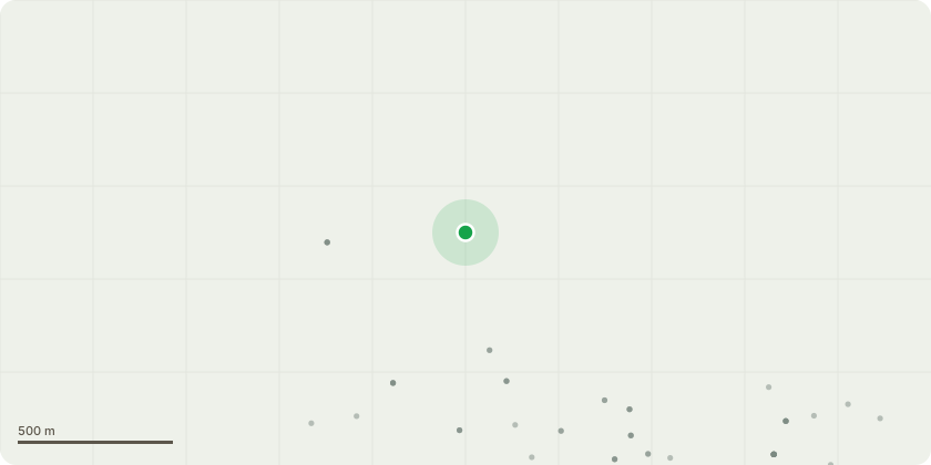
Approximate location
Proposal
Discharge of condition 3 (flint sample panel) of listed building consent LA/26/0264 (Creation of a new Preparatory School at Holt Hall to comprise the restoration of Holt Hall, including demolition of the existing kitchen and stable blocks to create a new North Wing Extension; removal of existing modern pre-fabricated timber teaching block and greenhouses, including demolition of pig sty and wall adjacent to the greenhouses, to create a new Multi-purpose Hall; removal of existing modern greenhouse and timber shed to create a new Music Hall; removal of existing LPG tank, temporary container-type toilet and ancillary buildings and repositioning of the existing equipment shed to create a new Field Studies Centre; reconfiguration and refurbishment of the Walled Garden; creation of a new ancillary Sports Pavilion and Sports Pitches; car parking areas; and associated infrastructure)
Key dates
- Received 13 May 2026
- Validated 14 May 2026
- Started 14 May 2026
- Decided 3 Jun 2026
Planning history / related applications
No related planning applications have been identified in the current public OGL dataset.
Inside plotEdge
Go beyond the public record
This page is the public OGL record. plotEdge adds the private intelligence layer for this site - open it in the app to unlock:
- Ownership & title Registered owner and title from HM Land Registry.
- Viability & build potential Site scoring and development upside.
- Constraints Flood risk, green belt, conservation areas and designations.
- Approval signal Planning risk and approval-likelihood analysis.
- Comparable applications Decisions on similar nearby sites, side by side.
- Status alerts Get notified the moment this application changes.
Source: public planning application data from North Norfolk, reused under the Open Government Licence v3.0. View the council source record. Council documents and drawings are not republished on plotEdge.