North Kesteven
North Kesteven/25/1197/TCA
Hillside House 39 High Street Leadenham Lincoln Lincolnshire LN5 0PP
- Reference
- North Kesteven/25/1197/TCA
- Authority
- North Kesteven
- Application type
- Trees in conservation area
- Address
- Hillside House 39 High Street Leadenham Lincoln Lincolnshire LN5 0PP
- Postcode
- LN5 0PP
- Status
- Decided
- Decision
- TPO Not Served
- Received
- 23 Sept 2025
- Validated
- 29 Sept 2025
- Started
- 29 Sept 2025
- Decided
- 4 Nov 2025
- Source council
- North Kesteven
- Council source record
- View public record
- Public data licence
- Open Government Licence v3.0
- Record updated
- 18 Jul 2026
- SEO index generated
- 24 Jul 2026
Location
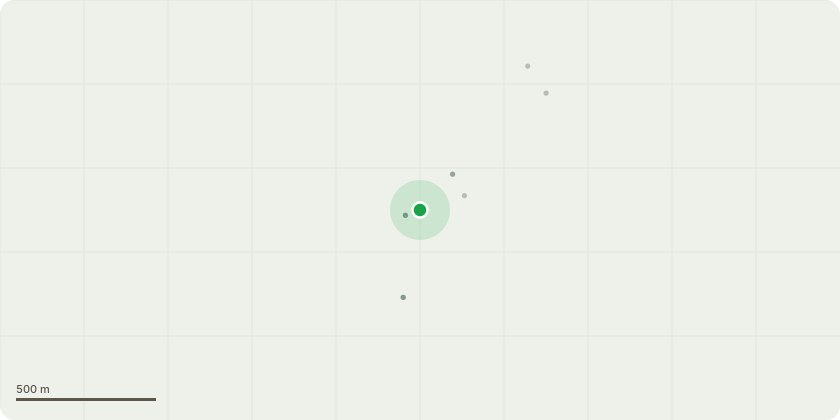
Approximate location
Proposal
The trees (U1, E1, PK1, Y1, UK3, L1, UK2, L1, Y2, and C1) have become significantly overgrown, resulting in excessive height and density that is now out of keeping with the scale of the garden and surrounding landscape. The proposed works involve reducing the overall height and crown of the trees through sympathetic pollarding, in accordance with best practice. This will help to restore the trees to a more manageable size, promote healthy regrowth, and ensure their long-term vitality while maintaining their contribution to local amenity and biodiversity.U1 - Unknown 5m down to 3mE1 - Elm 6m down to 4/5mPK1 - Pink Trumpet 3m down to 2mY1 - Yew 5m down to 3mUK3 - Unknown 5m down to 3mL1 - Laurel 6m down to 4mUK2 - Unknown 8m down to 5mL1 - Laurel 4m down to 3mY2 - Yew 8m down to 6mC1 - Conifer 7m down to 4m
Key dates
- Received 23 Sept 2025
- Validated 29 Sept 2025
- Started 29 Sept 2025
- Decided 4 Nov 2025
Planning history / related applications
No related planning applications have been identified in the current public OGL dataset.
Inside plotEdge
Go beyond the public record
This page is the public OGL record. plotEdge adds the private intelligence layer for this site - open it in the app to unlock:
- Ownership & title Registered owner and title from HM Land Registry.
- Viability & build potential Site scoring and development upside.
- Constraints Flood risk, green belt, conservation areas and designations.
- Approval signal Planning risk and approval-likelihood analysis.
- Comparable applications Decisions on similar nearby sites, side by side.
- Status alerts Get notified the moment this application changes.
Source: public planning application data from North Kesteven, reused under the Open Government Licence v3.0. View the council source record. Council documents and drawings are not republished on plotEdge.