North Kesteven
North Kesteven/25/0988/TPO
The Old Farmhouse School Lane Newton Sleaford Lincolnshire NG34 0DY
- Reference
- North Kesteven/25/0988/TPO
- Authority
- North Kesteven
- Application type
- Tree preservation order
- Address
- The Old Farmhouse School Lane Newton Sleaford Lincolnshire NG34 0DY
- Postcode
- NG34 0DY
- Status
- Unknown
- Decision
- TPO works approved
- Received
- 18 Aug 2025
- Validated
- 22 Aug 2025
- Started
- 22 Aug 2025
- Decided
- 7 Oct 2025
- Source council
- North Kesteven
- Council source record
- View public record
- Public data licence
- Open Government Licence v3.0
- Record updated
- 18 Jul 2026
- SEO index generated
- 24 Jul 2026
Location
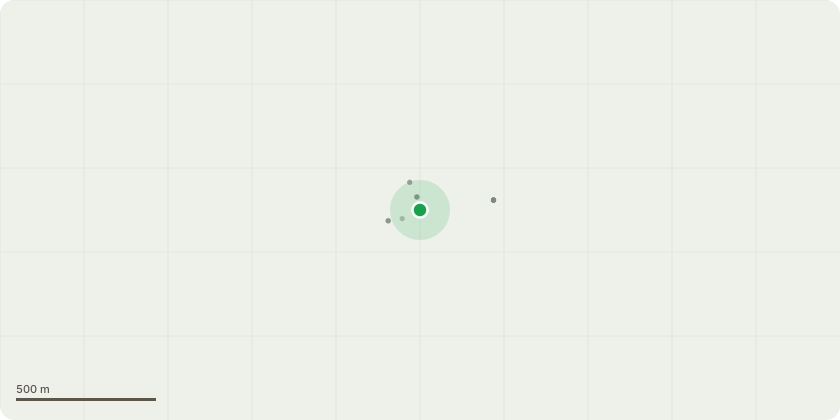
Approximate location
Proposal
Tree ID: T1 - Mature Populus spp. (Poplar) located in the south-west corner of the Garden (see attached map for visual reference).Brief Description of Tree: Large mature Poplar protected by TPO. The tree has recently sustained a significant structural defect, with a major limb failing and partially detaching from the main stem. This has left the tree with an unbalanced crown and exposed fracture points.Scope of Work:Pollard to approximately 8m above ground level in accordance with BS3998:2010 Tree Work Recommendations. This will remove damaged and unstable upper growth, reduce end-weight on remaining limbs, and promote a safer, more compact regrowth habit.Arisings/Waste:All brash to be chipped on site . Timber to be cut into manageable lengths and left on site unless otherwise requested by the client.
Key dates
- Received 18 Aug 2025
- Validated 22 Aug 2025
- Started 22 Aug 2025
- Decided 7 Oct 2025
Planning history / related applications
No related planning applications have been identified in the current public OGL dataset.
Inside plotEdge
Go beyond the public record
This page is the public OGL record. plotEdge adds the private intelligence layer for this site - open it in the app to unlock:
- Ownership & title Registered owner and title from HM Land Registry.
- Viability & build potential Site scoring and development upside.
- Constraints Flood risk, green belt, conservation areas and designations.
- Approval signal Planning risk and approval-likelihood analysis.
- Comparable applications Decisions on similar nearby sites, side by side.
- Status alerts Get notified the moment this application changes.
Source: public planning application data from North Kesteven, reused under the Open Government Licence v3.0. View the council source record. Council documents and drawings are not republished on plotEdge.