North Kesteven
North Kesteven/25/0866/TPO
Ambulance Control Centre Cross Ocliff Court Bracebridge Heath Lincoln Lincolnshire LN4 2HL
- Reference
- North Kesteven/25/0866/TPO
- Authority
- North Kesteven
- Application type
- Tree preservation order
- Address
- Ambulance Control Centre Cross Ocliff Court Bracebridge Heath Lincoln Lincolnshire LN4 2HL
- Postcode
- LN4 2HL
- Status
- Unknown
- Decision
- TPO Modified Approval
- Received
- 18 Jul 2025
- Validated
- 8 Aug 2025
- Started
- 8 Aug 2025
- Decided
- 26 Sept 2025
- Source council
- North Kesteven
- Council source record
- View public record
- Public data licence
- Open Government Licence v3.0
- Record updated
- 18 Jul 2026
- SEO index generated
- 24 Jul 2026
Location
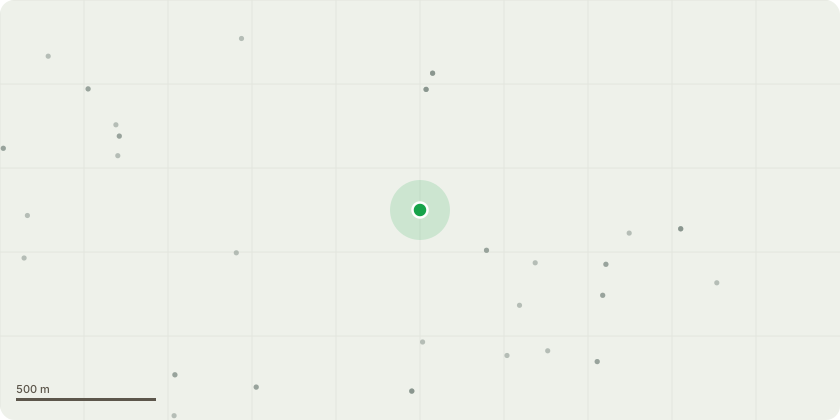
Approximate location
Proposal
T1 Elm - Fell to ground level. DeadT2 Ash - Fell to ground level (prayers.deflect.shadowing) Included union around 20ft up main stem, long over extended limbs growing out towards cricket pitch. Showing the first signs of ash dieback which results in the canopy becoming very brittle. The canopy looks to holding a lot of dead wood already. (Both these trees are situated next to a bench which is heavily used. They're also both marked with a blue spot).T3 Chestnut - Fell to ground level (truly.perfumed.written) Heavily leaning towards cricket pitch, this group of chestnut has been left to grow to close together causing this tree to lean out under the canopy in search for light. This in turn will but a lot of strain on the root structure and stability. The club are now struggling to move the cricket screens as the tree is impending there movement as seen in the picture. Crown lift the remaining trees in this group to a maximum of 6m so the club can move there boards more freely. One limb is already heavily damaged, removing some weight will reduce the risk of failure. When a game or event is in play at the club a lot of people stand below these trees and these have been identified as a health safety risk and some management/work.
Key dates
- Received 18 Jul 2025
- Validated 8 Aug 2025
- Started 8 Aug 2025
- Decided 26 Sept 2025
Planning history / related applications
No related planning applications have been identified in the current public OGL dataset.
Inside plotEdge
Go beyond the public record
This page is the public OGL record. plotEdge adds the private intelligence layer for this site - open it in the app to unlock:
- Ownership & title Registered owner and title from HM Land Registry.
- Viability & build potential Site scoring and development upside.
- Constraints Flood risk, green belt, conservation areas and designations.
- Approval signal Planning risk and approval-likelihood analysis.
- Comparable applications Decisions on similar nearby sites, side by side.
- Status alerts Get notified the moment this application changes.
Source: public planning application data from North Kesteven, reused under the Open Government Licence v3.0. View the council source record. Council documents and drawings are not republished on plotEdge.