North Kesteven
North Kesteven/25/0761/TPO
Land Adjacent 26 Capito Drive North Hykeham Lincoln Lincolnshire LN6 9FZ
- Reference
- North Kesteven/25/0761/TPO
- Authority
- North Kesteven
- Application type
- Tree preservation order
- Address
- Land Adjacent 26 Capito Drive North Hykeham Lincoln Lincolnshire LN6 9FZ
- Postcode
- LN6 9FZ
- Status
- Unknown
- Decision
- TPO Modified Approval
- Received
- 24 Jun 2025
- Validated
- 26 Jun 2025
- Started
- 26 Jun 2025
- Decided
- 11 Aug 2025
- Source council
- North Kesteven
- Council source record
- View public record
- Public data licence
- Open Government Licence v3.0
- Record updated
- 18 Jul 2026
- SEO index generated
- 24 Jul 2026
Location
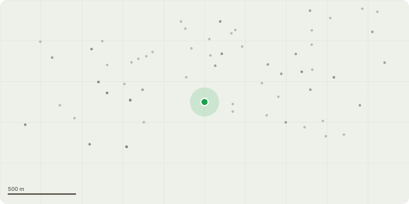
Approximate location
Proposal
T1 - Oak - Reduce low bough overhanging 26 Capito Drive by 2.5/3 metres.The tree has a low overhanging bough that is 3ft from the gable wall end of the property, it is overhanging the property and is significantly close to the house itself. The property owner has expressed concerns and wishes to see the offending bough reduced. We have consulted with the Tree Surgeon and have engaged having had sight of public liability insurance and risk assessments. We have the property owners permission to enter their property, and we will post advance notifications of work on social media and on street furniture in advance of works. Any public right of way will be managed throughout the works programme. Our aim is to reduce the overhang enough to prevent future interference to the property therefore reducing risk on several levels plus nuisance all done in a sympathetic manner.
Key dates
- Received 24 Jun 2025
- Validated 26 Jun 2025
- Started 26 Jun 2025
- Decided 11 Aug 2025
Planning history / related applications
No related planning applications have been identified in the current public OGL dataset.
Inside plotEdge
Go beyond the public record
This page is the public OGL record. plotEdge adds the private intelligence layer for this site - open it in the app to unlock:
- Ownership & title Registered owner and title from HM Land Registry.
- Viability & build potential Site scoring and development upside.
- Constraints Flood risk, green belt, conservation areas and designations.
- Approval signal Planning risk and approval-likelihood analysis.
- Comparable applications Decisions on similar nearby sites, side by side.
- Status alerts Get notified the moment this application changes.
Source: public planning application data from North Kesteven, reused under the Open Government Licence v3.0. View the council source record. Council documents and drawings are not republished on plotEdge.