North Kesteven
North Kesteven/25/0747/TPO
22 Thorold Way Harmston Lincoln Lincolnshire LN5 9GJ
- Reference
- North Kesteven/25/0747/TPO
- Authority
- North Kesteven
- Application type
- Tree preservation order
- Address
- 22 Thorold Way Harmston Lincoln Lincolnshire LN5 9GJ
- Postcode
- LN5 9GJ
- Status
- Unknown
- Decision
- TPO works approved
- Received
- 24 Jun 2025
- Validated
- 25 Jun 2025
- Started
- 25 Jun 2025
- Decided
- 5 Aug 2025
- Source council
- North Kesteven
- Council source record
- View public record
- Public data licence
- Open Government Licence v3.0
- Record updated
- 18 Jul 2026
- SEO index generated
- 24 Jul 2026
Location
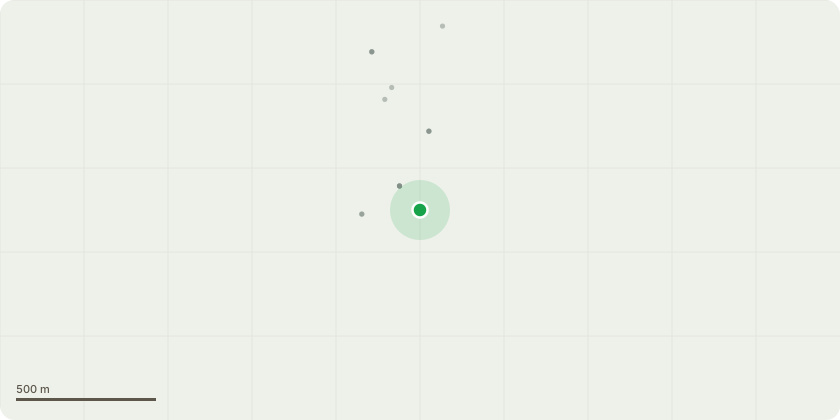
Approximate location
Proposal
T1 Ash (Withdraws.marketing.scouted) Fell - A large branch has failed and fell from tree nearly hitting one of the applicants grandchildren. The applicant has expressed there concern for the tree to someone from the council who also suggested the tree were to come down due to safety reasons. The tree sits on the edge of the woodland overhanging the garage, the wood has never been managed and has now become over crowded causing these trees to grow extremely tall without the correct stability for there size. Showing signs of ash dieback which in such a overcrowded wood, when windy other branches come into contact wit these more brittle branches and fail. Exposed flaring at the base of the tree, with small signs of decay present. Long lateral limbs within the upper canopy which are also exposed to the elements in turn with the ash dieback which turned brittle and became extremely dangerous. Included union 30ft up main stem, due to the woodland behind shouldn't impact the local aesthetics if removed. Inonotus hispidus bracket present the base of one of the limbs indicting internal soft rot.T2 and T3 Sycamore - Remove the 4 lowest overextended branches over the driveway. To lift the canopy as starting to interfere when having fuel delivered for the properties.
Key dates
- Received 24 Jun 2025
- Validated 25 Jun 2025
- Started 25 Jun 2025
- Decided 5 Aug 2025
Planning history / related applications
No related planning applications have been identified in the current public OGL dataset.
Inside plotEdge
Go beyond the public record
This page is the public OGL record. plotEdge adds the private intelligence layer for this site - open it in the app to unlock:
- Ownership & title Registered owner and title from HM Land Registry.
- Viability & build potential Site scoring and development upside.
- Constraints Flood risk, green belt, conservation areas and designations.
- Approval signal Planning risk and approval-likelihood analysis.
- Comparable applications Decisions on similar nearby sites, side by side.
- Status alerts Get notified the moment this application changes.
Source: public planning application data from North Kesteven, reused under the Open Government Licence v3.0. View the council source record. Council documents and drawings are not republished on plotEdge.