North Hertfordshire
North Hertfordshire/26/01784/NMA
Land On The South West Side Of Barkway Road Royston Hertfordshire SG8 9DF
- Reference
- North Hertfordshire/26/01784/NMA
- Authority
- North Hertfordshire
- Application type
- Non-material amendment
- Address
- Land On The South West Side Of Barkway Road Royston Hertfordshire SG8 9DF
- Postcode
- SG8 9DF
- Status
- Registered
- Received
- 16 Jul 2026
- Started
- 16 Jul 2026
- Source council
- North Hertfordshire
- Council source record
- View public record
- Public data licence
- Open Government Licence v3.0
- Record updated
- 18 Jul 2026
- SEO index generated
- 24 Jul 2026
Location
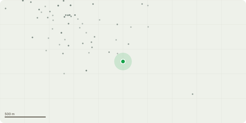
Approximate location
Proposal
To add a sentence to a number of conditions to allow a minor start on site to implement the planning approval by adding the words: " ...other than the excavation and concreting of the foundations to the pair of garages serving plots 9 and 10 or demolition of the existing workshops in the vicinity of plots 1 and 2 on plan numbers HAN/BAR21/01E and HAN/BAR21/02A ...." to Condition numbers: 3 External Materials, 4 hard and soft landscaping, 8 Biodiversity Management Plan, 13, Foul water/ sewerage, 14 Construction traffic management plan (only a days work for a mini digger and one visit by a grab lorry and one by a cement mixer), 15 Construction management plan (as 14), 19 WSI - attached - is a watching brief possible on this small excavation, 22 No contamination has been found - reports deposited with original application. The site is located on chalk very close to the surface resulting in a shallow dig (as non-material amendment to planning permission reference 21/02957/FP granted on 22.05.2023).
Key dates
- Received 16 Jul 2026
- Started 16 Jul 2026
Planning history / related applications
No related planning applications have been identified in the current public OGL dataset.
Inside plotEdge
Go beyond the public record
This page is the public OGL record. plotEdge adds the private intelligence layer for this site - open it in the app to unlock:
- Ownership & title Registered owner and title from HM Land Registry.
- Viability & build potential Site scoring and development upside.
- Constraints Flood risk, green belt, conservation areas and designations.
- Approval signal Planning risk and approval-likelihood analysis.
- Comparable applications Decisions on similar nearby sites, side by side.
- Status alerts Get notified the moment this application changes.
Source: public planning application data from North Hertfordshire, reused under the Open Government Licence v3.0. View the council source record. Council documents and drawings are not republished on plotEdge.