North East Lincolnshire
North East Lincolnshire/DM/0365/25/TPO
32 Osprey Drive Great Coates North East Lincolnshire DN37 9HT
- Reference
- North East Lincolnshire/DM/0365/25/TPO
- Authority
- North East Lincolnshire
- Application type
- Tree preservation order
- Address
- 32 Osprey Drive Great Coates North East Lincolnshire DN37 9HT
- Postcode
- DN37 9HT
- Status
- Decided
- Decision
- Refused
- Received
- 6 May 2025
- Validated
- 6 May 2025
- Started
- 6 May 2025
- Decided
- 2 Jul 2025
- Source council
- North East Lincolnshire
- Council source record
- View public record
- Public data licence
- Open Government Licence v3.0
- Record updated
- 18 Jul 2026
- SEO index generated
- 24 Jul 2026
Location
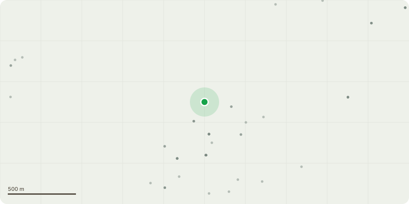
Approximate location
Proposal
Horse Chestnut tree, rear of 32 Osprey Drive: Fell and replace with Acer campestre.Reasons: as set out previously under DM/0447/22/TPO, the presents several hazards, including falling conkers posing risk to pets and young children, excessive shading, and potential root encroachment on nearby properties, leading to disturbance such as lifting paving slabs. Unfortunately this application was refused. since that time, the tree has grown significantly, further exasperating these issues. In addition, bird waste accumulates daily on both the gardens and bins, and dead baby pigeons have fallen from the tree into our garden, contributing to unsanitary conditions near our home. Recent strong winds have caused the tree to shed a large limb, which fortunately landed in the adjacent ditch, but remains a structural concern. Due to these persistent issue, we are unable to safely utilize our garden as a family space.
Key dates
- Received 6 May 2025
- Validated 6 May 2025
- Started 6 May 2025
- Decided 2 Jul 2025
Planning history / related applications
No related planning applications have been identified in the current public OGL dataset.
Inside plotEdge
Go beyond the public record
This page is the public OGL record. plotEdge adds the private intelligence layer for this site - open it in the app to unlock:
- Ownership & title Registered owner and title from HM Land Registry.
- Viability & build potential Site scoring and development upside.
- Constraints Flood risk, green belt, conservation areas and designations.
- Approval signal Planning risk and approval-likelihood analysis.
- Comparable applications Decisions on similar nearby sites, side by side.
- Status alerts Get notified the moment this application changes.
Source: public planning application data from North East Lincolnshire, reused under the Open Government Licence v3.0. View the council source record. Council documents and drawings are not republished on plotEdge.